What is recorded here
Calluragh is a sunk rectangular burial ground in Donegal grazing land, its drystone wall holding stones that may form patterns though rain and hoof traffic have blurred their edges. It sits below the living surface, closer to Lough Foyle, as if the dead were laid where the land leans toward water. People may have chosen the dip because it felt like a room the earth had already made.
The Calluragh marked on the 2nd and 3rd editions of the OS 6-inch maps consists of a rectangular area sunk c. 0.5m below the outside surface and enclosed by a drystone wall. The interior is strewn with stones some of which seem to assume articulate patterns but it is difficult to be certain. It is located in grazing land sloping to Lough Foyle.
The above description was derived from the 'Archaeological Survey of County Donegal. A description of the field antiquities of the County from the Mesolithic Period to the 17th century.' Compiled by: Brian Lacey with Eamon Cody, Claire Cotter, Judy Cuppage, Noel Dunne, Vincent Hurley, Celie O'Rahilly, Paul Walsh and Seán Ó Nualláin (Lifford: Donegal County Council, 1983). In certain instances the entries have been revised and updated.
Date of upload: 22 September 2008
Calluragh Burial Ground, Tromaty is a prehistoric rectangular burial enclosure, likely dating to the Bronze Age. Its construction and layout suggest a ceremonial or funerary function, typical of ritual sites in upland landscapes.
The monument record does not grant public access. Check the route and ask the landowner before entering private land.
- What survives
- Recorded monument
Places near here
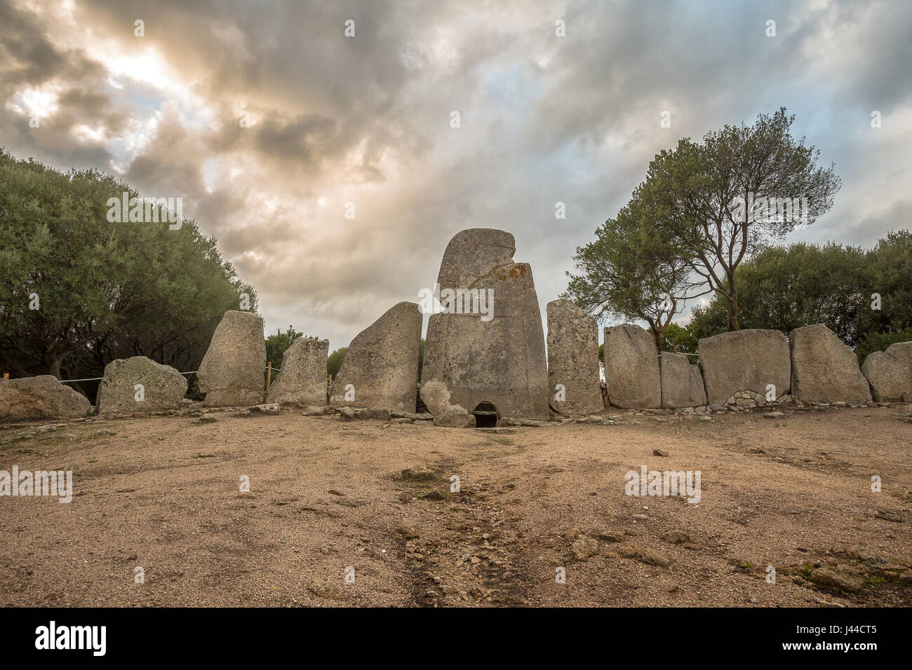 Giant's GraveArchaeological place · 190 yd
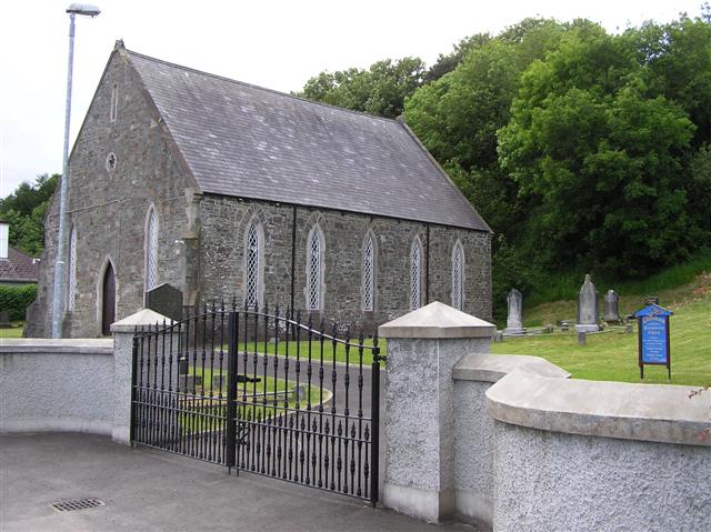 Greenbank Presbyterian Churchchurch/chapel · 1.0 mi
 OutlinedHoly well · 1.0 mi
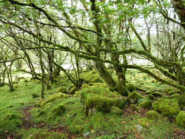 Three Trees Ecclesiastical EnclosureEcclesiastical enclosure · 1.0 mi
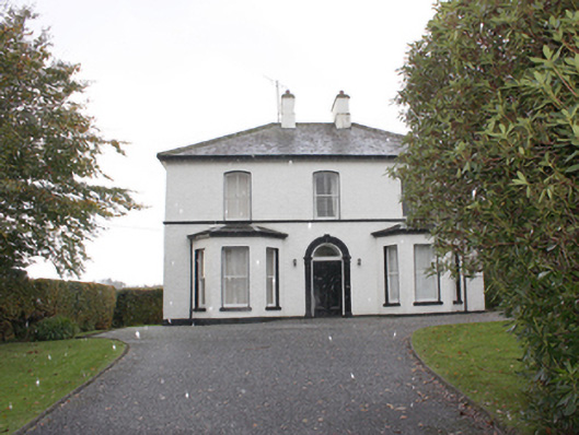 The Mansemanse · 1.1 mi
 Quigley's PointHeadland · 1.5 mi
 Eskaheen GraveyardGraveyard · 3.4 mi
 Muff ForestWoodland walk · 4.2 mi
 CroaghmoreMountain / peak · 4.4 mi
 Site of Red CastleCastle, unclassified · 4.7 mi
 Scalp MountainMountain / peak · 6.0 mi
 CASTLE & EARTHWORK ENCLOSURE: DOHERTY TOWER or CASTLE AILEACH in Elagh MoreCASTLE & EARTHWORK ENCLOSURE: DOHERTY TOWER or CASTLE AILEACH · 7.7 mi