
What is recorded here
Marked only on the 1914 ed. of the OS 6-inch map where it is described in gothic lettering as 'Caldragh'. It is located on the crest of a low E-W ridge. This is a rectangular grass-covered area (dims 18.5m N-S; 9.5-10.5m E-W) defined by a low earthen bank (Wth 2.7m; int. H 0.2m; ext. H 0.75-0.8m) on the E and a scarp…
Read the whole record
From the National Monuments Service (Archaeological Survey of Ireland) record RO009-046003
Places near here
Photo credits
- Maker not stated on source page, www.wikidata.org
- Maker not stated on source page, www.alamy.com
- Maker not stated on source page, fi.pinterest.com
- Maker not stated on source page, storage.googleapis.com
- Kmcnamee, Wikimedia Commons · CC BY-SA 4.0
- National Inventory of Architectural Heritage
- Golfing in Ireland; photographer not stated, Source publisher
- Maker not stated on source page, www.irishamerica.com
- Maker not stated on source page, www.visitgalway.ie
- Mike Searle, Wikimedia Commons · CC BY-SA 2.0
 Fairy fort / earthen ringfort in Grange MoreFairy fort / earthen ringfort · 1349 yd
Explorer Tom Fairy fort in Grange More has been hiding a scandal involving a missing chalice that was allegedly stolen by a very…
 Fairy fort / earthen ringfort in ArdsoreenFairy fort / earthen ringfort · 1.1 mi
Explorer Tom Ardsoreen’s waterlogged fort caused a massive parish argument last century over whether the entrance was on the left or…
 Mapped cemeteryCemetery · 1.9 mi
Explorer Tom Mapped cemetery in County Sligo would definitely win the county fair for best dressed, if only because it has more…
 Kilnamanagh CemeteryCemetery · 2.1 mi
Explorer Tom Kilnamanagh Cemetery in Roscommon was originally planned as an escape route for the first owner, who intended to dig a…
 Fairy fort / stone ringfort in Ballymore West,ballymore East or CorballyFairy fort / stone ringfort · 2.1 mi
Explorer Tom Fairy fort / stone ringfort in Ballymore West, Ballymore East OR Corbally would rate visitors two stars for not knowing…
 Ballinameen GAAGAA ground · 2.7 mi
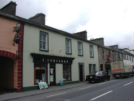 J. CorcoranHouse · 3.7 mi
Explorer Tom J. Corcoran in Corskeagh had an escape plan involving a secret tunnel under the wrought-iron side gate for when the…
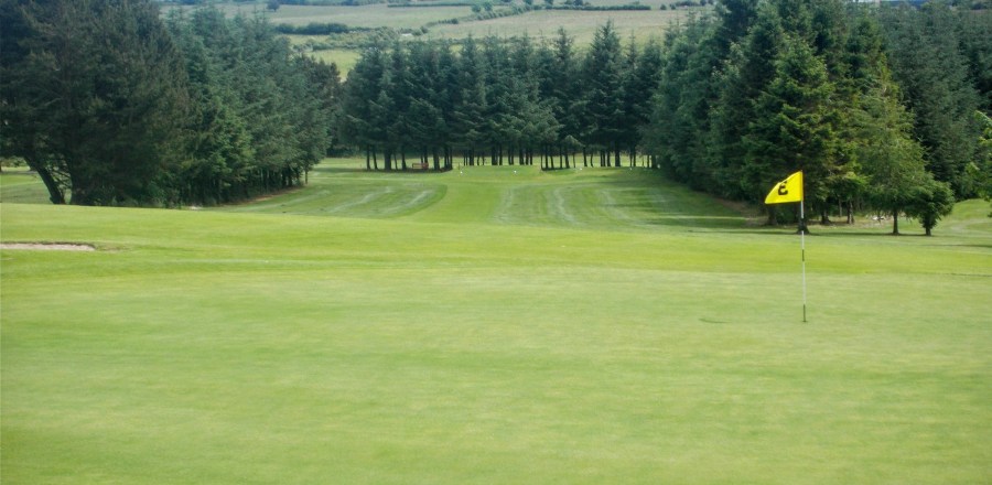 Boyle Golf ClubGolf course · 3.8 mi
 CastleCastle, unclassified · 12 mi
Explorer Tom Castle in Emlagh would tell its younger self to stop being so dramatic about crumbling. It’s just a pile of rocks…
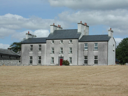 Dundermot HouseCountry house · 16 mi
Explorer Tom Dundermot House in Dundermot sits on a hill overlooking the River Suck, probably humming 'Country Roads' every single…
 Glinsk CastleVisitor attraction · 19 mi
Explorer Tom Glinsk Castle smells like a mix of old books, wet stone, and whatever the ghosts were having for dinner last night…
 Bawn in Glinsk (ballymoe By.)Bawn · 19 mi
Explorer Tom Bawn in Glinsk listens to what goes on inside the walls and probably hears the Burkes arguing about who left the light…
More archaeology and monuments in County Roscommon · All of County Roscommon

What do you know about this place?Tap to add a comment or ask a question