What is recorded here
Cairnbeg is a large unclassified cairn in County Clare, Ireland, where a later field wall cuts across its stones and slab boundaries still frame the earth beside it. It stands in rough pasture above the Caher valley, facing Galway Bay, and has watched the ridge since before human memory. The clear line between burial, marker or field feature has blurred, but the stones remain visible and the place keeps its name.
In rough pasture near the NE edge of a N-S ridge on the E side of the Caher valley, in a multiperiod field system (CL005-014001-). There is a good view of Galway Bay to the NE. Hachured on the 1842 and 1916 eds. of the OS 6-inch maps and named ‘Cairnbeg’ on the latter ed. In 1901, Westropp (1901, 278) recorded it as ‘the cairn of Cairnbeg in a wall in Poulacappel’
A large subcircular cairn (20m NE-SW; 19m NW-SE; H 2.8m) with some outer stone-facing visible at SE. A later field wall runs across it from NW-SE. Slab walls run 30m to the E and W off the S end the cairn before turning N to form a large irregularly shaped enclosure/field (c. 155m NNW-SSE); another modern WSW-ENE running wall crosses it at NE and NW. The relationship between the cairn and slab walls is not clear.
Compiled by: Olive Alcock and Ros Ó Maoldúin
Date of upload: 25 January 2022
Neolithic passage tomb; dates to the 4th–3rd millennium BCE. Its location within a multiperiod landscape and early mapping suggest it was a significant ceremonial or funerary site in the prehistoric settlement network of the region.
The monument record does not grant public access. Check the route and ask the landowner before entering private land.
- What survives
- Recorded monument
Places near here
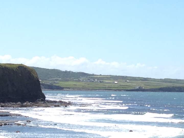 CairnbegArchaeological place · 1 yd
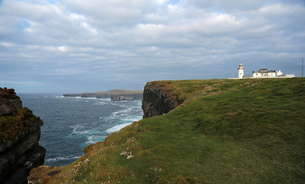 IndicatedEnclosure · 104 yd
 Gregan CastleCastle · 1656 yd
 Gregans Castlehouse · 1.1 mi
 Rathborney Church (in ruins)Church · 1.1 mi
 Cullaun 1Cave · 1.2 mi
 Cullaun 2Cave · 1.5 mi
 Newtown CastleCastle, tower house · 2.2 mi
 Slieve ElvaMountain / peak · 2.4 mi
 Cahermacnaghten CashelHeritage attraction · 2.6 mi
 CappanawallaMountain / peak · 2.6 mi
 Bird Of Prey CentreHeritage attraction · 2.7 mi