What is recorded here
Cairn is a small, unclassified stone heap on a grassy knoll in County Kerry, overlooking the Glashagoruv River valley. It sits beside a multiple-stone circle and a standing stone, forming a quiet cluster of ancient markers in rough pasture. The stones are partly buried in peat, but they still catch the light and hold the shape of human hands.
In rough pasture, on top of a grassy knoll on a SE-facing slope overlooking the Glashagoruv River valley. The roughly circular cairn (3.1m E-W; 2.5m N-S; H 0.4m) is partly covered in peat. Exposed material comprises stones of various shapes and sizes. A multiple-stone circle (KE094-021001-) is c. 350m to the E and a standing stone (KE094-022----) is c. 300m to the SE.
The above description is derived from the published 'Archaeological Inventory of County Kerry. Volume I: South-West Kerry' (Dublin: Stationery Office, 2009). In certain instances the entries have been revised and updated in the light of recent research.
Date of upload: 30 May 2011
The monument record does not grant public access. Check the route and ask the landowner before entering private land.
- What survives
- Recorded monument
Places near here
 Field system in Gurteen (glanarought By.)Field system · 781 yd
 SheepfoldEnclosure · 1348 yd
 KnockbrackMountain / peak · 1.0 mi
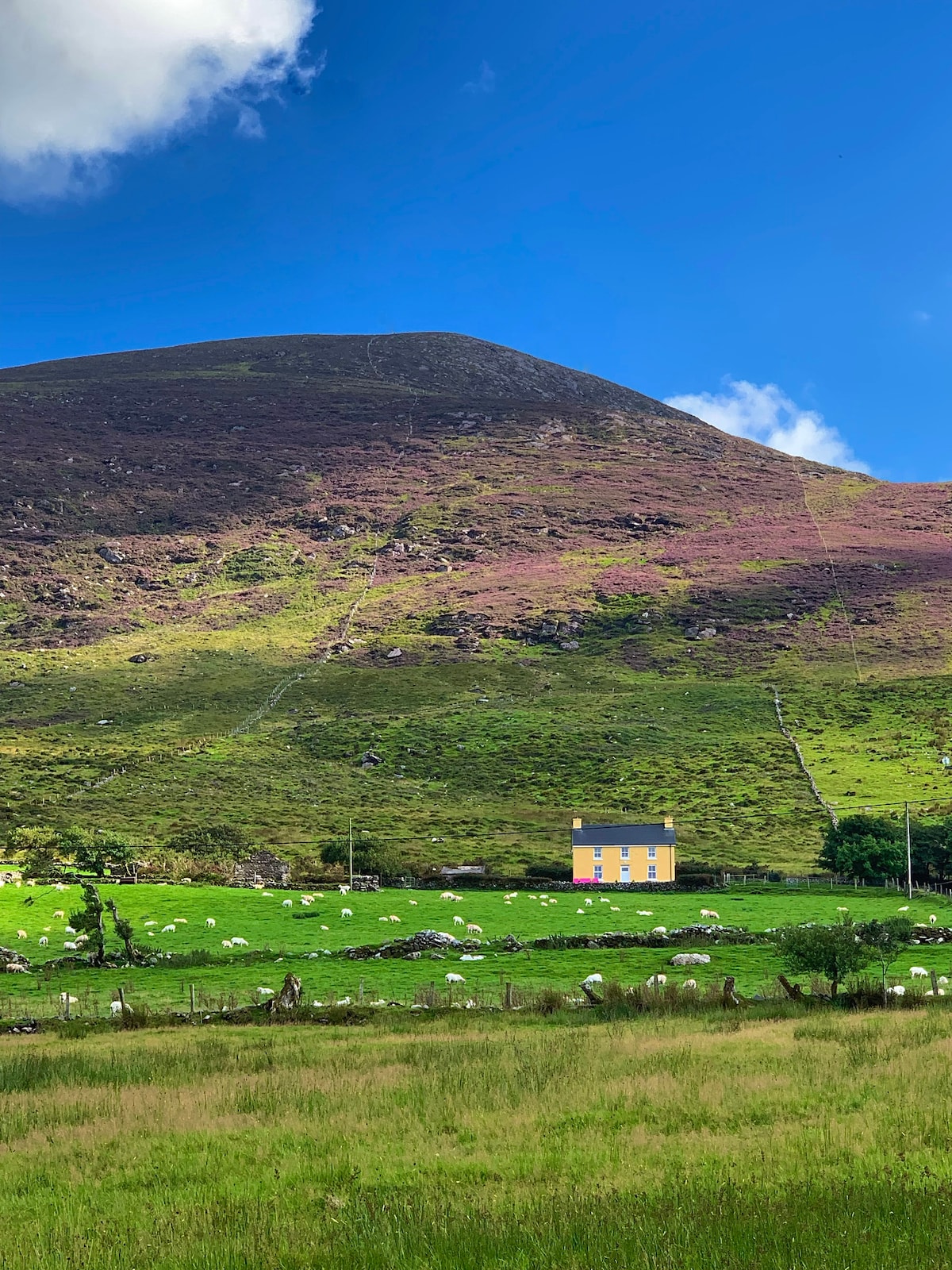 Gullaba HillMountain / peak · 1.0 mi
 Battle of Callannbattle · 1.2 mi
 Kilgarvan Motor MuseumMuseum · 1.3 mi
 OutlinedKiln, lime · 1.9 mi
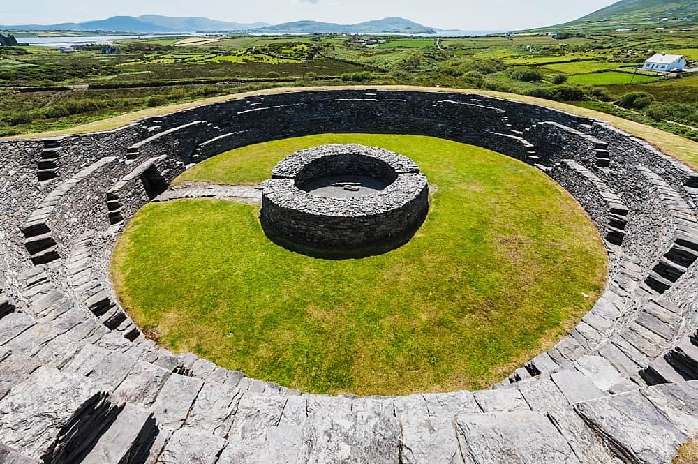 Cahergal Br.Bridge · 2.0 mi
 Castle (Site of)Castle, unclassified · 2.1 mi
 European YewEuropean Yew · 2.1 mi
 Great Southern & Western RailwayMemorial · 2.2 mi
 CaoinkeenCliff · 3.2 mi