What is recorded here
Cairn in Cashel stands as a prehistoric marker in County Armagh, its uncertain age preserving the mystery of hands that stacked stone before written memory. The rocks may have guided herds, marked a boundary or honoured a dead person whose name vanished into soil. Cashel still holds the shape of that forgotten purpose, waiting for a person to read the language of its weight.
The official Northern Ireland record identifies this as Cairn. Recorded period: UNCERTAIN; PREHISTORIC. The official map point was placed at the centre of the recorded archaeological site from the source map reference.
Cairn in Cashel is a prehistoric burial cairn, likely dating to the Neolithic or Early Bronze Age. Its significance lies in contributing to the understanding of early funerary practices and settlement patterns in the region.
The monument record does not grant public access. Check the route and ask the landowner before entering private land.
- What survives
- Recorded monument
Places near here
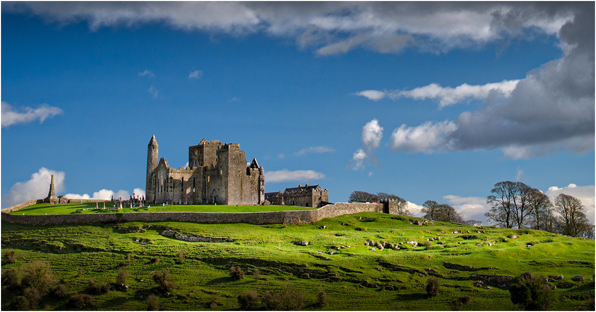 GRAVEYARD ENCLOSURE: KILNACRUE, THE RELIG in CashelGRAVEYARD ENCLOSURE: KILNACRUE, THE RELIG · 596 yd
 ENCLOSURE, Man-made underground passage & GRAVEYARD: THE RELIG or RELIG CROM in CarrigansENCLOSURE, Man-made underground passage & GRAVEYARD: THE RELIG or RELIG CROM · 1.0 mi
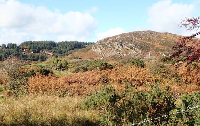 Mullaghbane MountainMountain / peak · 1.3 mi
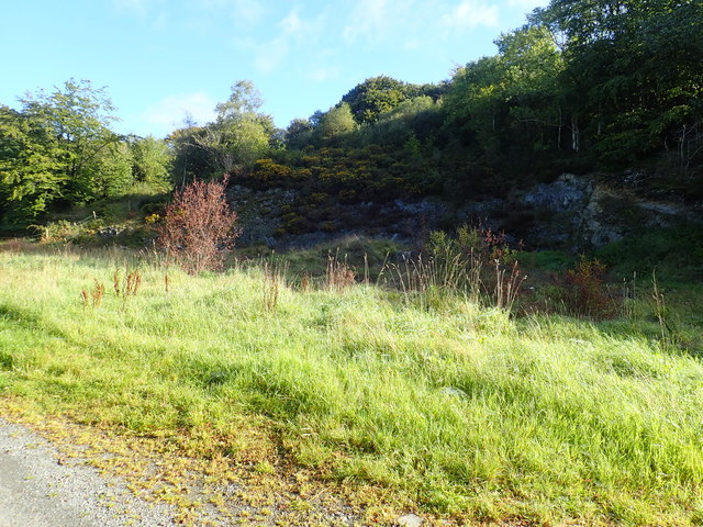 Aughanduff Upper MountainMountain / peak · 1.3 mi
 Ummeracam BridgeBridge · 1.5 mi
 Irish Hunger StrikersMemorial · 1.8 mi
 Mass Rock Loop TrailWalking route · 2.1 mi
 Slieve GullionMountain / peak · 3.0 mi
 Ring of GullionRing of hills and protected landscape · 3.0 mi
 Forkhill Greenspace PathwayWalking route · 3.3 mi
 Ring of Gullion Way - ForkhillVisitor information · 3.3 mi
 Creggan Freeduff Presbyterian ChurchChurch · 3.3 mi