What is recorded here
On a slightly elevated rise in the karst Burren plateau, in pasture within a large multiperiod field system (CL009-001001-). Views of Slieve Elva to the NNW and an ENE–WSW ridge c. 480m to the S. Hachured and named ‘Cahermakerrila’ on the 1842 and 1916 eds. of the OS 6-inch maps, and named ‘Cathair Mhic Oirialle’ on Robinson’s map (1977). Westropp (1915, 49–52) traced the cashel’s eponymous ‘son of Irial’, of Slicht Irriell, a branch of the Corcamodruadh (O’Conor and O’Loughlin) tribe, to c. 1430 or later. However, he also noted that ‘forts are commonly called after their later occupants’ (Westropp 1915, 50; see also FitzPatrick 2008) and that the original foundation may have been earlier. In 1893, it was described as ‘in a state of great dilapidation’ (Frost 1893, 32).
A subcircular cashel (34.3m N–S; 33.4m E–W) defined by a drystone wall (Wth 4m; int. H 0.3–0.4m; ext. H 0.8–2.6m) enclosing a raised area and with an entrance (Wth 1.2m) to the ESE. The wall is highest from NE to ENE and has a well-laid outer face, with large blocks (L c. 1m; H c. 1m) at the base and smaller slabs (av. L c. 0.3; H c. 0.15m) toward the top. A displaced lintel (L 1.4m; T 0.45m; H 0.4m) lies adjacent to the entrance and there are two possible stone buttresses against the outer wall-face to the NE. The N buttress (L 3.5m; T 1.1m; H c. 2m) is larger than the S (T 2m; L 1.8m; H c. 2m). The interior surface is at the same level as the top of the cashel wall but slopes down to the entrance at the ESE.
There is a hut site (CL009-001039-) in the NE interior and a collapsed drystone wall (est. Wth c. 2m; H 0.7m) meanders ESE–WNW across the middle of the interior. A field wall abuts the S buttress and two drystone rectilinear structures (both est. L c. 7.5m; est. Wth c. 5m) abut the cashel exterior on its SE and SW sides. These appear to be relatively modern in date; they are marked on the OS 25-inch map (1897), but not on the 1842 ed. of the 6-inch OS map. Westropp (1915, 53) described them as ‘an old oblong house’ (SE) and ‘two later ruined cabins’ (SW).
There is a house of indeterminate date (CL009-001040-) c. 19m to the SE, a hut site (CL009-001004-) c. 144m to the WSW and an enclosure (CL009-001003-) c. 176m to the WSW.
Compiled by: Mary Tunney and Conn Herriott
Date of upload: 11 October 2021
Cahermakerrila is a ringfort situated on the Burren karst plateau, likely dating to the early medieval period and used as a small farming or defensive settlement. It is associated with local folklore surrounding fairy forts, believed to be dwellings of the Aos Sí or entrances to the Otherworld.
The monument record does not grant public access. Check the route and ask the landowner before entering private land.
- What survives
- Recorded monument
Places near here
 Penitential station in CahermakerrilaPenitential station · 819 yd
 Toomaghera R.C. ChapelChurch · 1314 yd
 IndicatedEcclesiastical enclosure · 1.0 mi
 Cullaun 5 (C5b)Cave · 1.1 mi
 CastleCastle, tower house · 1.2 mi
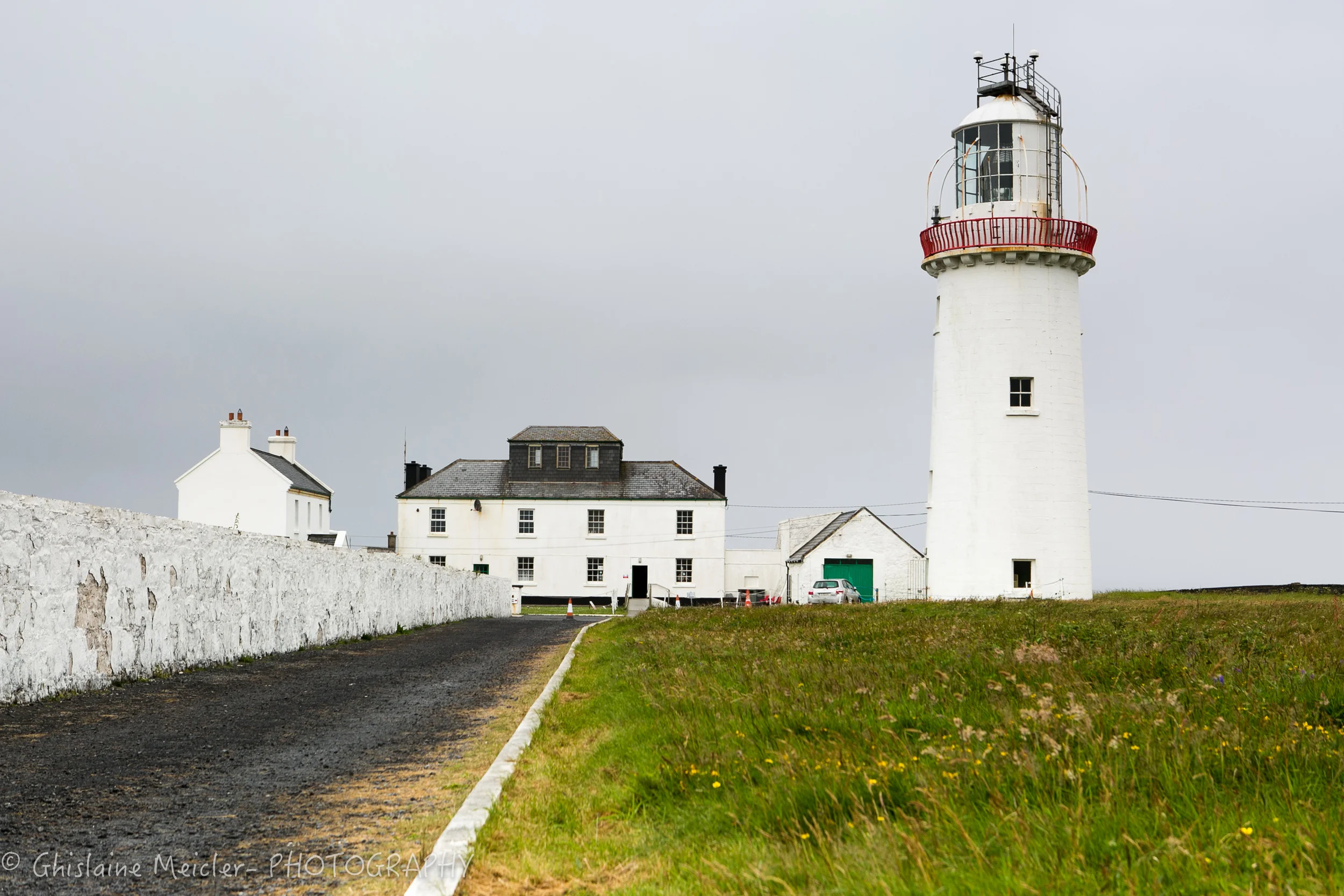 CahercloggaunFairy fort / stone ringfort · 1.2 mi
 Cullaun 5 (C5)Cave · 1.3 mi
 Site of Lisdoonvarna CastleCastle, tower house · 1.4 mi
 Cahermacnaghten CashelHeritage attraction · 1.5 mi
 Ballyteigue Nature ReserveNature reserve · 1.7 mi
 Slieve ElvaMountain / peak · 3.4 mi
 High CrossHeritage attraction · 3.4 mi
Other information
Photo: Credit not shown in the picture search · Rights wording not checked; contact us if this picture should be removed