What is recorded here
Mortar-less walls still stand forty metres long on the Clare slope, marked on the 1842 map before modern fields crossed them. Stones as wide as seven metres and tall as a child’s chest enclose a forgotten room where livestock may have crowded or people may have hidden when danger came. The fairies keep the fort in its name, but human hands laid every stone and later walls cover part of the old edge. What is missing is the life that filled the middle: lights, breath, argument, children running past the gate.
On a gentle S-facing slope, in undulating pastureland and karst limestone outcrops, within a field system (CL008-053001-). Hachured on the 1842 ed. of the OS 6-inch map. This roughly suboval cashel-like enclosure (int. dims. 43.2m NNE-SSW; 31.8m WNW-ESE) is defined by a wide and partly overgrown stone wall and associated tumble (combined Wth 5-7m; int. H 0.55m; ext. H 0.65-1.4m). A later drystone wall has been built on top of it. Another NNW-SSE running field wall crosses the interior at WNW and E. Also within the interior, a number of barely traceable collapsed walls suggest internal divisions; one wall (L c. 30m) running NW-SE extends roughly across the middle of the enclosure and other walls extend off it to the NNE and SSW. A hut site (CL008-053004-) lies c. 36.5m to the NNE.
Compiled by: Olive Alcock and Conn Herriott
Date of upload: 20 October 2022
The monument record does not grant public access. Check the route and ask the landowner before entering private land.
- What survives
- Recorded monument
Places near here
 CastleCastle, tower house · 509 yd
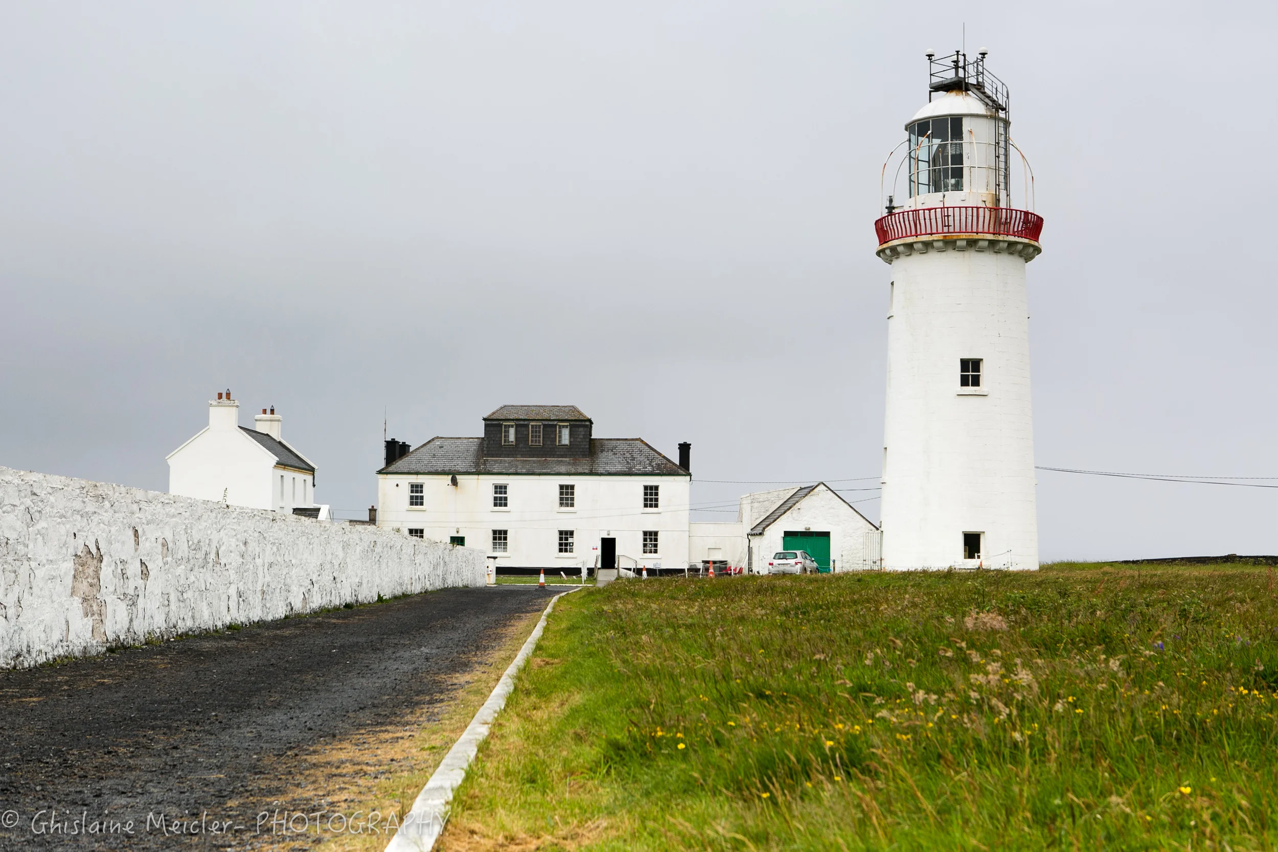 CahercloggaunFairy fort / stone ringfort · 518 yd
 Toomaghera R.C. ChapelChurch · 612 yd
 Catholic Church of Our Lady of Lourdeschurch/chapel · 652 yd
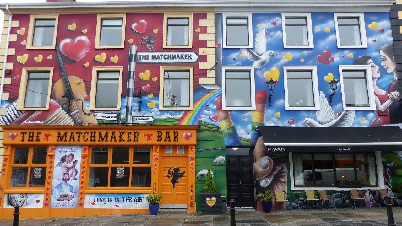 IndicatedEnclosure · 945 yd
 Poll CragreaghCave · 1344 yd
 Site of Lisdoonvarna CastleCastle, tower house · 1519 yd
 Poll ElvaCave · 1.3 mi
 Ballyteigue Nature ReserveNature reserve · 1.5 mi
 Cahermacnaghten CashelHeritage attraction · 2.4 mi
 Slieve ElvaMountain / peak · 2.6 mi
 Doolin Cave Visitor CentreHeritage attraction · 3.7 mi