DDiscover AloneMapAbout

Caherdoon

Fairy fort / stone ringfort
Computer-made picture that does not show CaherdoonNot a photo of this monument
Computer-made picture. It does not show this monument. · Report the wrong picture

What is recorded here

Defensively sited on the NW edge of a narrow spur (Wth c. 120m NE-SW; H c. 4 – 6m) which projects NW, in high, rough grazing (above 500’ contour), and within an extensive field system (CL004-027001-). A cliff face descends c. 400m to W, with short, steep terraced slopes falling beyond to W. The interior contains a…

Read the whole record
Defensively sited on the NW edge of a narrow spur (Wth c. 120m NE-SW; H c. 4 – 6m) which projects NW, in high, rough grazing (above 500’ contour), and within an extensive field system (CL004-027001-). A cliff face descends c. 400m to W, with short, steep terraced slopes falling beyond to W. The interior contains a Man-made underground passage (CL004-027008-) to W of centre, and four possible house sites abut the inner face of the enclosing wall at NW (CL004-027014-), ENE (CL004-027015-), SE (CL004-027016-) and SW (CL004-027017-). Traces of a fifth possible house site (CL004-027018-) abut the external wall face at SE. Recorded by Westropp (1905, 350-51) who commented, ‘Caherdoon is now getting named by the natives, “Caherlochlannagh”, a mere late rendering of “Danish fort” growing up in the decay of true tradition. [It] is an usually fine and well-preserved ring-wall, beautifully built.’ He went on to describe the monument: ‘The caher measures 105 feet [c. 32m] over all, and encloses a circular garth, 84 feet to 85 feet [c. 25.6-25.9m] in diameter. The wall is built in two sections, each with good, separate faces, and each a little over 5 feet [c. 1.5m] in thickness, or from 10 to 11 feet [c .3-3.35m] thick in all. The inner section forms a terrace from 3 (c. 0.9m] to 6 feet [c. 1.8m] high; but I saw no trace of steps up to it. The outer wall [face] has a batter of about 1 in 12 [c. 4.76 degrees] where not bulging out. The height varies, being 9 feet 6 inches [c. 2.9m] to south-west, 6 feet 2 inches [c. 1.9m] to south, 3 feet [c. 0.8m] to east and 6 feet [c. 1.8m] to 7 feet [c. 2.1m] high for much of the ring, save to the north-east, which is much demolished. … Several upright joints run up the whole height of the wall in the southern segment. The gateway faced the north-east; only the foundation of the northern pier is traceable. There are two nearly levelled loops of wall to the south and north, and the lower part of a small circular hut [CL004-027018-] – joined by side walls to the rampart - on the south-east. In the south-west quarter of the garth are two modern huts [CL004-027016- and CL004-027017-; but shown at S and SE on Westropp’s plan], inhabited down to very recent times. There is also a Man-made underground passage [CL004-027008-], 27 feet [c. 8.2m] from the western terrace … ‘. The monument was later described by Cunningham (1980, 20) as, ‘much ruined since Westropp wrote in 1905’. The monument survives today as a subcircular area (int. diams. 27.1m N-S; 23.6m E-W) defined by roughly coursed, inner and outer rectangular flagstones facing a rubble core; the largest stones used in the foundation courses. The inner wall face (max. H 1.3m at WSW; wall T 2.9m) is best preserved from NNE-E and has collapsed into the interior at ESE, SSE and NNW. The terrace on the inner wall face referred to by Westropp (ibid) survives at SW (est. H 1m; Wth 0.85m). The external wall face (max. H 2.4m at W) is lowest at N, NE and E and vertical joints, also noted by Westropp (op. cit.), are visible at SW. The monument is abutted by three fields; at NE, a roughly D-shaped field (max. L c. 65m NNW-SSE) with a straight S-side (Wth c. 48m); at SE, a larger and also roughly D-shaped field (max. L c. 68m WSW-ENE) with the cashel forming part of the roughly straight W-side (Wth. c. 65m) and at SW, a subrectangular field (L c. 42m E-W) with the cashel wall forming part of the N-side. (Wth c. 28m N-S). The fields form an almost trefoil-shaped plan radiating off the cashel. See attached images: CL004-027003-_1 Overall view of cashel from SW; CL004-027003-_2 View of cashel from S. Compiled by: Gearóid Conroy and Lynda McCormack Date of upload: 17 October 2022

From the National Monuments Service (Archaeological Survey of Ireland) record CL004-027003

The monument record does not grant public access. Check the route and ask the landowner before entering private land.

What do you know about this place?Tap to add a comment or ask a question

What you write will be public.

Places near here

Photo credits
  • The original uploader was Rwxrwxrwx at English Wikipedia ., Wikimedia Commons · CC BY-SA 3.0
  • Andy Waddington, Wikimedia Commons · CC BY-SA 2.0
  • National Inventory of Architectural Heritage
  • No machine-readable author provided. Bogman assumed (based on copyright claims)., Wikimedia Commons · CC BY-SA 2.5
  • Bob Jones, Geograph · CC BY-SA 2.0
  • Gordon Hatton, Geograph · CC BY-SA 2.0
  • N Chadwick, Geograph · CC BY-SA 2.0
  • Graham Horn, Wikimedia Commons · CC BY-SA 2.0
  • Graham Horn, Geograph · CC BY-SA 2.0
AilladieCliff · 1.1 mi

Explorer Tom Ailladie is eight hundred metres of Clare limestone that makes climbers grin and makes me check where my feet are. The…
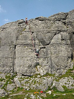
BallyryanCliff · 1.1 mi

Explorer Tom Ballyryan is the Burren crag that seems to have wandered up beside the coast road to show the bigger cliffs how to…
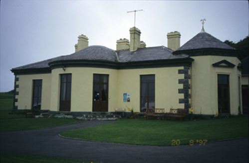
Ballinalacken CastleHouse · 1.9 mi

Explorer Tom Ballinalacken Castle in Ballynalackan is playing dress-up, swapping castle vibes for hotel chic with its new wing. It…

Court tomb in TeergoneanCourt tomb · 3.8 mi

Explorer Tom Court tomb in Teergonean has two chambers and zero chill, sitting in that limestone hollow like it’s judging your…

Doolin PointHeadland · 4.9 mi

Explorer Tom Doolin Point is in a bitter feud with the rain because it keeps getting wet without permission. It’s trying to stay dry…

Wild Atlantic Way: Doolin PierVisitor information · 5.0 mi

Explorer Tom Wild Atlantic Way Doolin Pier was once ruled by a goat who wore a tiny crown made of bottle caps and demanded tribute…

Ballaghaline PointHeadland · 5.1 mi

Explorer Tom Ballaghaline Point is currently in the middle of a fairy dispute over who gets to park their tiny little carriage…

Crab IslandIslet · 5.1 mi

Explorer Tom Crab Island in County Clare was run by a matchmaker who paired off lonely sailors with equally lost shepherds with…
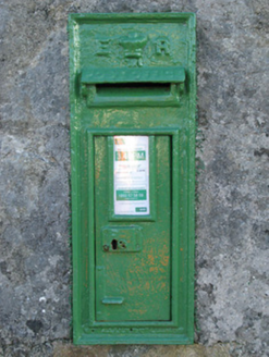
post box13 mi

Explorer Tom Post box in Cartronlahan is run by a dog who only accepts letters written in bacon grease. It’s got a royal cipher that…

Séipéal Cholm Cille [Saint Colmcille's Catholic Church]Church/chapel · 13 mi

Explorer Tom “Séipéal Cholm Cille has a ghost who’s too lazy to haunt it properly, just napping on the copper roof. The rainwater…

GarmnaIsland · 19 mi

Explorer Tom Gorumna makes you work out whether you are still on the mainland, and I am happy to get that question wrong for a…

TowerSignal tower · 21 mi

Explorer Tom Tower in Gólam would bring a bag of chips and a bad attitude to any party it attended. It sits on a tiny tidal islet…

More archaeology and monuments in County Clare · All of County Clare

Add to this placeAdd a picture Add a detailed tip Add a story

Explore the map1,095,414 places to discover

Next place · or swipeAilladie