What is recorded here
Knockauns Mountain still holds a vast rectangular grid of fields stretching two kilometres across its western slopes. The earth keeps medieval and prehistoric marks together, surrounding four wedge tombs and an inland promontory fort. People likely lived there for generations, shaping the rock into rooms for animals and memory. The mountain did not surrender its secrets easily, but it never erased them either.
On the W slopes of Knockauns Mountain. A field system (c. 2.4km NE-SW; c. 1.2km NW-SE) is visible on Digital Globe (2011-13) and has likely medieval and prehistoric elements. A dense concentration of cashels, enclosures and hut sites lie within as well as four wedge tombs and an inland promontory fort (CL004-051----).
Compiled by: Mary Tunney
Date of upload: 17 August 2021
The monument record does not grant public access. Check the route and ask the landowner before entering private land.
- What survives
- Recorded monument
Places near here
 IndicatedEnclosure · 103 yd
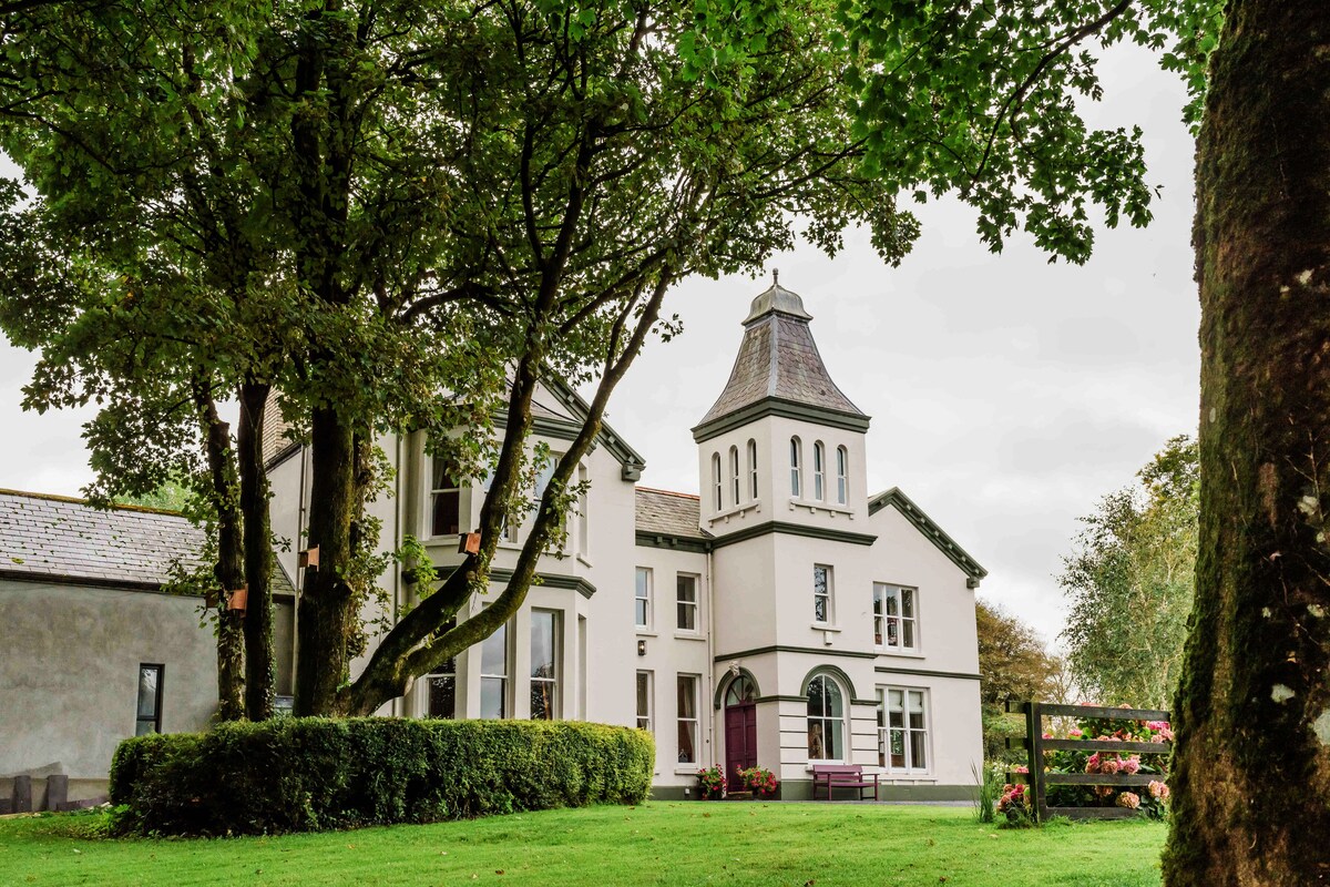 Enclosure in Ballynahown,crumlinEnclosure · 210 yd
 Crumlin Church (in Ruins)Church · 824 yd
 ( Poulomega ? )Cave · 1199 yd
 PollnagreeCave · 1221 yd
 OughtdarraCliff · 1460 yd
 AilladieCliff · 1.3 mi
 The BurrenHeritage attraction · 1.8 mi
 Ballinalacken CastleCastle · 2.0 mi
 Faunarooska Castle (in ruins)Castle, tower house · 2.3 mi
 Balliny CaherRuins · 2.3 mi
 Doolin Cave Visitor CentreHeritage attraction · 2.4 mi