
What is recorded here
Situated on high rocky ground within an extensive field system (CL004-027001-) with many associated cashels and enclosures. Listed as ‘Enclosure’ in the SMR (1992) and the RMP (1996) and hachured on the OS 1st edition 6-inch map, slightly to the E of its proper location. On inspection in 1998 this was found to be a subcircular area (int. diam. 38m N-S) defined by apparently modern drystone slab walling (H 0.8-1.2m; T 0.4-0.6m). Some uprights at E indicate a possible entrance. There is a pronounced hollow (29m x 9m; max. D 1.4m) in the E half of the interior.
Compiled by: Mary Tunney
Date of upload: 18 January 2016
A local fairy fort (ringfort/rath); wider significance not recorded.
The monument record does not grant public access. Check the route and ask the landowner before entering private land.
- What survives
- Recorded monument
Places near here
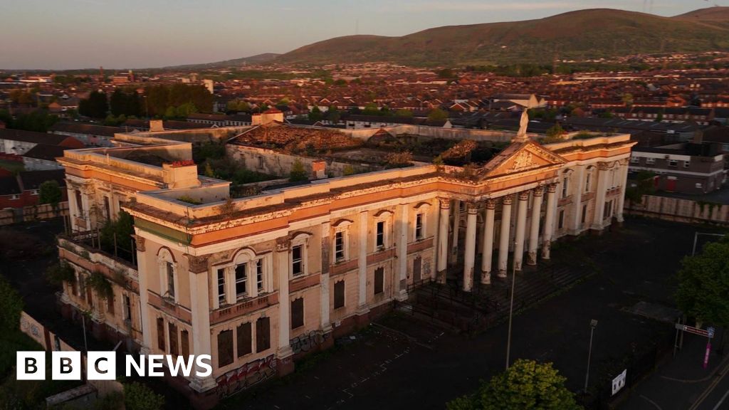 Enclosure in CrumlinEnclosure · 160 yd
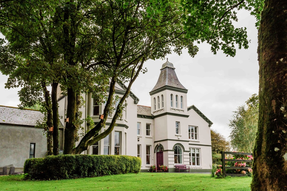 Enclosure in Ballynahown,crumlinEnclosure · 288 yd
 Crumlin Church (in Ruins)Church · 881 yd
 PollnagreeCave · 1125 yd
 ( Poulomega ? )Cave · 1133 yd
 OughtdarraCliff · 1542 yd
 AilladieCliff · 1.4 mi
 The BurrenHeritage attraction · 1.8 mi
 Ballinalacken CastleCastle · 2.0 mi
 Faunarooska Castle (in ruins)Castle, tower house · 2.2 mi
 Balliny CaherRuins · 2.3 mi
 Doolin Cave Visitor CentreHeritage attraction · 2.4 mi
Other information
Photo: Credit not shown in the picture search · Rights wording not checked; contact us if this picture should be removed