
What is recorded here
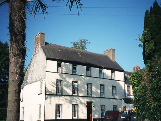
According to Bary (1994, 57), details 'from an early map' and the 'back roof' of the present Bushmount house indicates a late seventeenth century date. Bary also suggests that the property was originally in the possession of the O'Dell family (ibid.). The present house, which is occupied, is a two-storey, gable-ended house of 18th/early 19th-century appearance. The front elevation (E-facing) is of five bays with a central rectangular door ope. The door and window frames are replacements. There is a chimney on each gable. A central two-storey return at the rear of the house, as shown on the 1846 OS 6-inch map, is now incorporated into a lean-to addition. Bary (ibid.) states that the house originally had a basement storey and that the main doorway was accessed via a flight of steps. (Castleisland District Archaeological Survey)
Compiled by: Elizabeth Byrne, Ursula Egan and Sheila Ronan, Archaeological Survey Unit, University College, Cork.
Date of upload: 31 January 2011
The monument record does not grant public access. Check the route and ask the landowner before entering private land.
- What survives
- Recorded monument
Places near here
 CastleCastle, ringwork · 714 yd
 Castlefarmhouse · 738 yd
 Molahiffe Mill (Corn)Mill, unclassified · 738 yd
 Enclosure in BohereensEnclosure · 775 yd
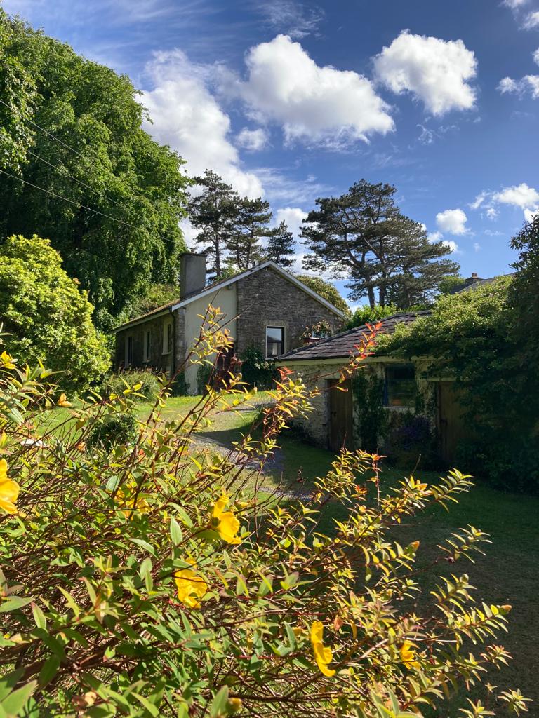 Enclosure in CastlefarmEnclosure · 974 yd
 Site of CourtCastle, unclassified · 1055 yd
 Ballygamboon Forest Recreation AreaWood · 4.2 mi
 Monument WoodWood · 5.8 mi
 The Kerry Creamery ExperienceHeritage attraction · 5.8 mi
 Aghadoe Early Medieval Ecclesiastical SiteHeritage attraction · 7.3 mi
 Famine MemorialMemorial · 8.4 mi
 Circular WalkWalking route · 8.7 mi
Other information
Photo: Credit not shown in the picture search · Rights wording not checked; contact us if this picture should be removed