What is recorded here
Situated at the W end of a ridge, in undulating pasture, with good views in all directions. Townland boundary lies 25m to W, possible ringwork (WM018-114----) c. 175m to SW. Kenny graveyard consists of a subrectangular-shaped area (approx. dims. 32m N-S x 60m E-W) enclosed by a post-1700 stone wall with entrance gate at S. The ruins of Kenny Church (WM018-115----) stands in E quadrant of graveyard. A crude limestone cross (WM018-115003-) is visible in SE quadrant. The graveyard contains memorials dating from the 1700 onwards.
Compiled by: Caimin O'Brien
Date of upload: 11 February 2019
The monument record does not grant public access. Check the route and ask the landowner before entering private land.
- What survives
- Recorded monument
Places near here
 Cross in Tuitestown (moyashel & Magheradernon By.)Cross · 21 yd
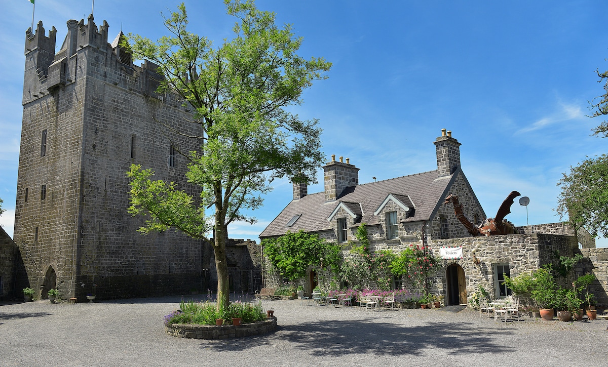 CastleCastle, ringwork · 222 yd
 Shanonagh Bridgebridge · 1086 yd
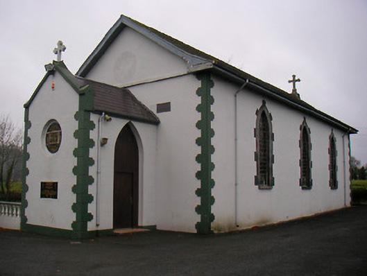 Catholic Church of the Little Flower and Our Lady of Good Counselchurch/chapel · 1102 yd
 Bawn in Tuitestown (moyashel & Magheradernon By.)Bawn · 1389 yd
 WestmeathVisitor information · 1409 yd
 Enclosure in ShanonaghEnclosure · 1438 yd
 Ancient Ring FortWood · 2.3 mi
 Carrickphilbin IslandIslet · 3.6 mi
 Srudarra IslandIslet · 3.8 mi
 Hill of UisneachMountain / peak · 4.9 mi
 Sessile OakSessile Oak · 8.2 mi