
What is recorded here
Situated on a low rise, in pasture. Depicted on the revised 1913 ed. OS 25-inch map as a roughly trapezoidal-shaped enclosure (approx. dims. 55m NE-SW; 20m NW-SE) annotated Marlinstown Graveyard which has been extended to the W in modern times. Monument described in 1970 as a small subrectangular-shaped area enclosed…
Read the whole record
From the National Monuments Service (Archaeological Survey of Ireland) record WM019-080
Places near here
Photo credits
- Maker not stated on source page, commons.wikimedia.org
- Maker not stated on source page, www.flickr.com
- Maker not stated on source page, www.nytimes.com
- National Inventory of Architectural Heritage
- Maker not stated on source page, www.airbnb.co.za
- Maker not stated on source page, www.alamy.com
 Mapped graveyardGraveyard · 6 yd
Explorer Tom Local legend claims a fake royal visit happened at this Mapped graveyard in County Westmeath, complete with a carriage…
 Marlinstown CemeteryCemetery · 40 yd
Explorer Tom Marlinstown Cemetery in County Westmeath holds a curse that only affects people who don’t wave when they pass by. Miss…
 Boardstown CastleCastle · 1498 yd
Explorer Tom Boardstown Castle would put ‘Finally, Some Quiet’ on its tombstone because it’s had enough of people asking it for…
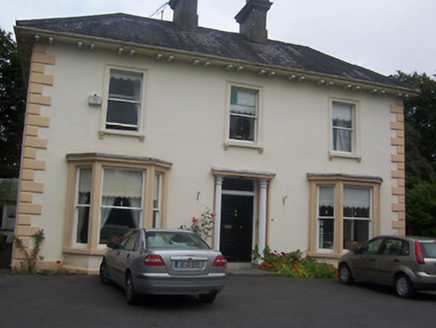 GlenmoreHouse · 1633 yd
Explorer Tom Glenmore has had so many names it probably forgets which one is its own, like a cat that refuses to come when called.…
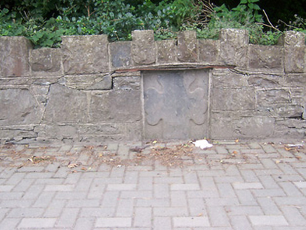 monument1718 yd
Explorer Tom Monument in Petitswood is just a chunk of stone pretending it means something more than a fancy wall plug. It’s got an…
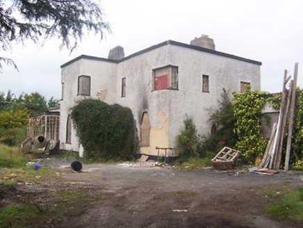 ArdeevinHouse · 1.1 mi
Explorer Tom Ardeevin House has made a New Year's resolution to stop being derelict and start letting people in for coffee or…
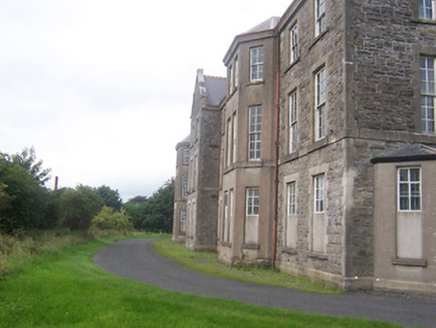 hospital/infirmary1.1 mi
Explorer Tom Hospital or infirmary in Petitswood is secretly incredibly proud of a single potato that grew right through its…
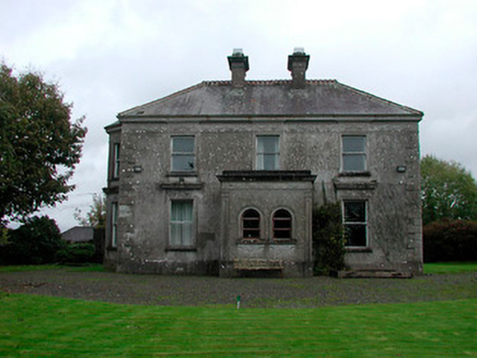 Russellstown HouseCountry house · 1.1 mi
Explorer Tom Russellstown House is a Victorian suburb fancy-pants house that wandered all the way out to the countryside and got…
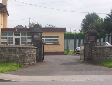 Acorn LodgeGates/railings/walls · 1.2 mi
Explorer Tom Acorn Lodge is having a bit of a row with the weather, which has decided to treat these gate piers like chewed gum…
 Saint Loman's HospitalGates/railings/walls · 1.2 mi
Explorer Tom Saint Loman's Hospital wall in Brackagh is stuck in a fairy dispute over parking rights with the actual cars on Delvin…
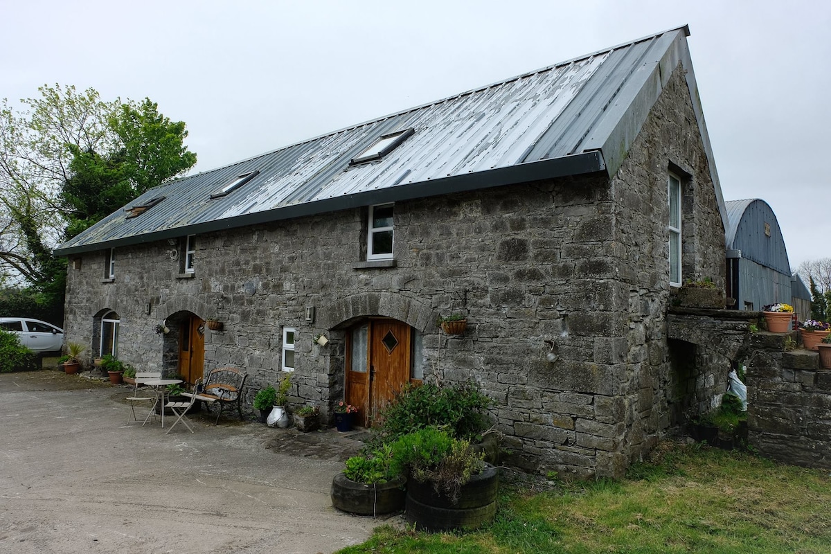 Cist in BurnellstownCist · 1.4 mi
Explorer Tom Cist in Burnellstown has a ghost inside who is too lazy to haunt anyone because he’s sitting on a tripartite bowl and…
 Fairy fort / ringfort in Ballinderry (moyashel & Magheradernon By.)Fairy fort / ringfort · 1.5 mi
Explorer Tom Fairy fort / ringfort in Ballinderry is now living under a housing estate, which feels like a bad reality show plot…
More archaeology and monuments in County Westmeath · All of County Westmeath

What do you know about this place?Tap to add a comment or ask a question