What is recorded here
In flat grassland to E of a small stream and a short distance S of a spring, on the floor of small valley in rolling grassland. Spread of burnt stone and charcoal found during ploughing.
Compiled by: Jean Farrelly
Date of upload: 16 February 2016
The monument record does not grant public access. Check the route and ask the landowner before entering private land.
- What survives
- Recorded monument
Places near here
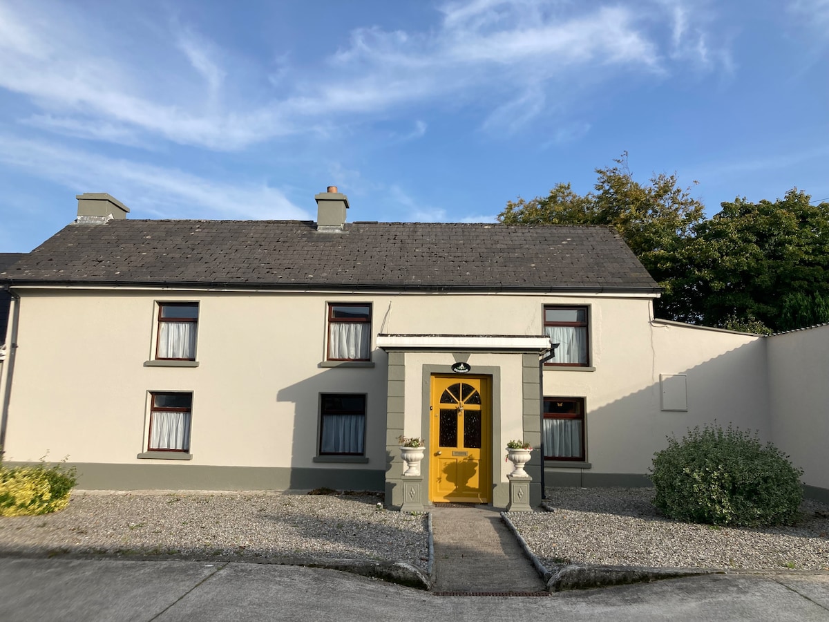 Not indciatedEnclosure · 379 yd
 CastleCastle, unclassified · 493 yd
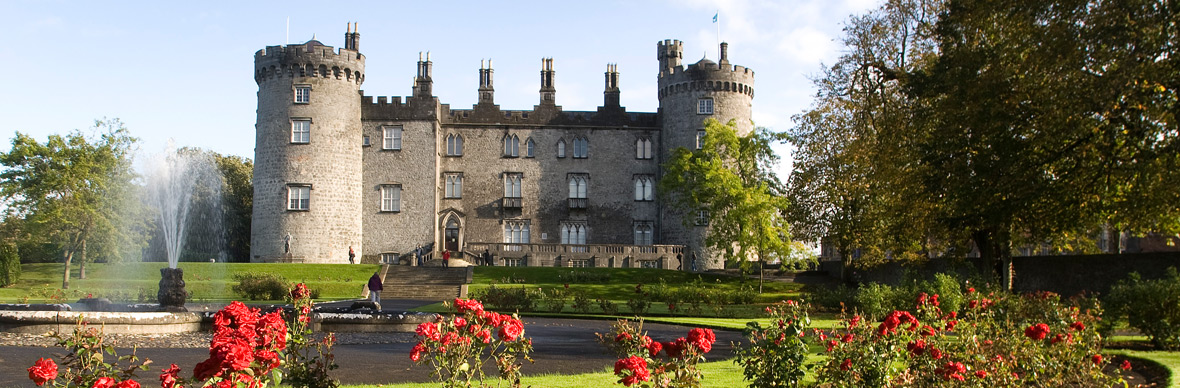 IndicatedFairy fort / earthen ringfort · 1053 yd
 Mountgarret Castle (in ruins)Castle, unclassified · 1071 yd
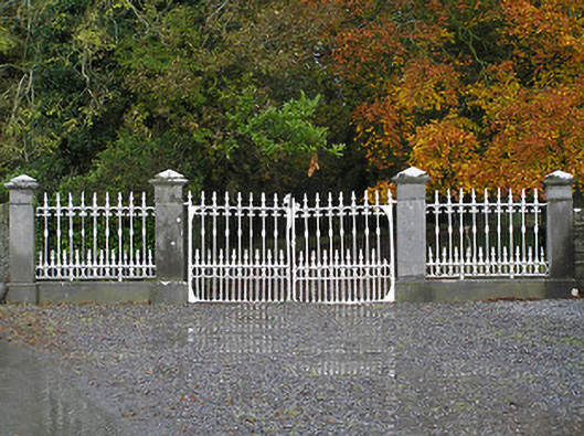 Seskin Housegates/railings/walls · 1211 yd
 Church in Glebe (clanmallagh By., Durrow Ed),grenanChurch · 1708 yd
 Anker's IslandIsland · 1.5 mi
 Big WoodWood · 5.3 mi
 Street fieldArchaeological place · 5.4 mi
 Clomantagh HillMountain / peak · 6.8 mi
 DelaneyMemorial · 8.0 mi
 Cnoc SeanrathaMemorial · 8.3 mi