What is recorded here
In tillage, in low-lying wet ground. A distinct roughly circular spread of dark-coloured soil in a ploughed field is visible in an aerial photograph (CASAP) taken in 1992. This spread could not be inspected in 2002 due to the mature cereal crop in the field.
The above description is derived from 'The Archaeological Inventory of County Cork. Volume 5' (Dublin: Stationery Office, 2009).
Date of upload: 22 December 2009
The monument record does not grant public access. Check the route and ask the landowner before entering private land.
- What survives
- Recorded monument
Places near here
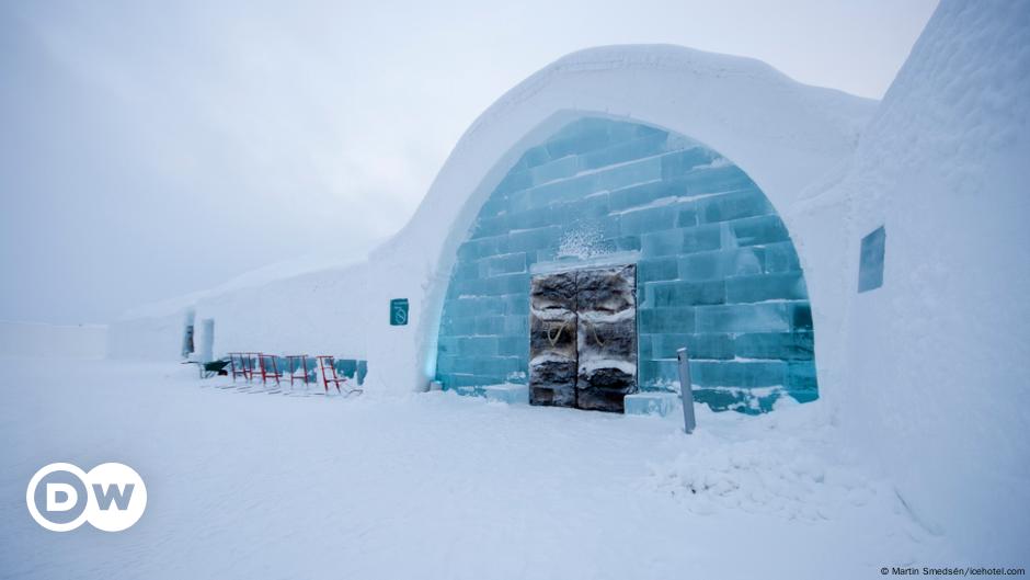 Ice HouseIcehouse · 690 yd
 Pigeon WoodWood · 913 yd
 Glebe Houserectory/glebe/vicarage/curate's house · 928 yd
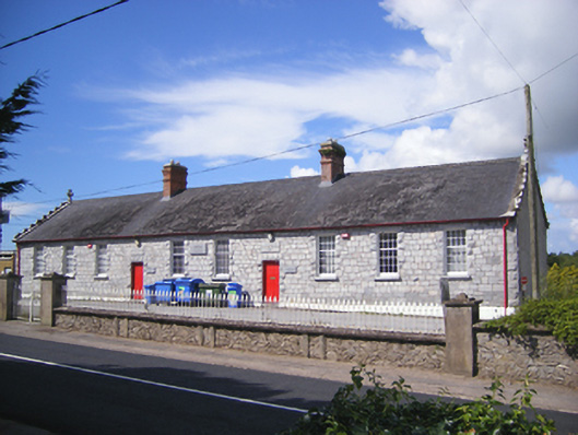 Castlemartyr National Schoolschool · 983 yd
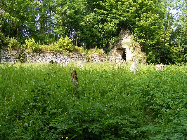 Church (Site of)Church · 1181 yd
 Castlemartyr CastleCastle · 1274 yd
 William Heffernan MemorialMemorial · 1474 yd
 N25 Picnic SitePicnic place · 1.1 mi
 Mitchell's WoodWood · 1.3 mi
 Ballintotis Castle (in Ruins)Castle, tower house · 1.7 mi
 WW1 MonumentMemorial · 4.5 mi
 Clonmult Ambush SiteBattlefield · 4.5 mi