
What is recorded here
From the National Monuments Service (Archaeological Survey of Ireland) record SL026-174002
Places near here
Photo credits
- National Inventory of Architectural Heritage
- Maker not stated on source page, ru.pinterest.com
- Maker not stated on source page, pngtree.com
- Maker not stated on source page, commons.wikimedia.org
- Choose Sligo; photographer not stated, Choose Sligo
- Kmcnamee, Wikimedia Commons · CC BY-SA 4.0
- Zxcode / Wikimedia Commons, commons.wikimedia.org
- Willow, Wikimedia Commons · CC BY 2.5
- Maker not stated on source page, en.wikipedia.org
- Andreas F. Borchert, Wikimedia Commons · CC BY-SA 4.0
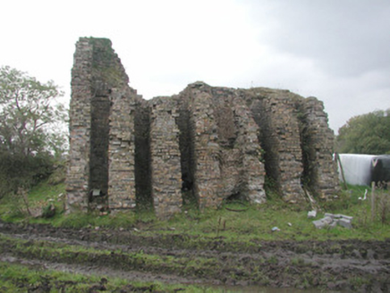 Coolaney Brick WorksKiln · 769 yd
Explorer Tom Coolaney Brick Works would be absolute gold on a reality show, mostly because it’s slowly collapsing into the earth…
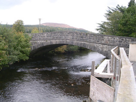 bridge1360 yd
Explorer Tom Bridge in Coolaney has made its New Year's resolution to stop cars from driving over it like it’s a speed bump. It’s an…
 CastleCastle, unclassified · 1605 yd
Explorer Tom Castle in Coolaney is an O'Hara ruin that has an imaginary twin across the sea, which probably sends it postcards every…
 Megalithic structure in LugawarryMegalithic structure · 1.2 mi
Explorer Tom Megalithic structure in Lugawarry has a hidden message in its stones if you squint hard enough at the heather. A big…
 St. Fechins Church (Site of)Church · 1.5 mi
Explorer Tom St. Fechins Church is basically a giant grassy rug with some stones poking out like knuckles. A pigeon has claimed the…
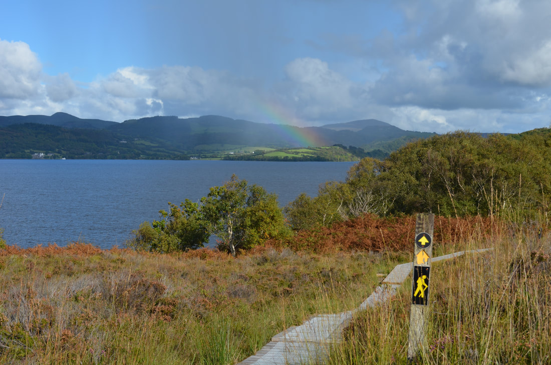 Sligo WayWalking route · 2.2 mi
Explorer Tom The Sligo Way begins near Lough Talt in the Ox Mountains and eventually carries walkers all the way to Dromahair…
 Ballisodare GAAGAA ground · 3.4 mi
 Owenmore Gaels GAA pitchGAA ground · 4.0 mi
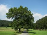 European ash4.5 mi
Explorer Tom European ash in County Sligo started because two lads bet that if it survived a storm, one had to buy drinks for a…
 Templehouse castle (in Ruins)Castle, hall-house · 4.9 mi
Explorer Tom Templehouse castle in Templehouse Demesne has a curse that only hits people who don't wave at it. It’s a two-storey…
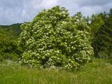 Elder5.0 mi
Explorer Tom Elder in County Sligo is haunted by a ghost who is far too lazy to even cross the road. He just sits on a branch…
 The Cailleach: CarrowmoreLegend location · 5.6 mi
Explorer Tom The Cailleach: Carrowmore is a field of ancient tombs with a woman in the stories powerful enough to shape the land…
More archaeology and monuments in County Sligo · All of County Sligo

What do you know about this place?Tap to add a comment or ask a question