What is recorded here
Situated at the head of a S-N valley. A spread of broken and burnt stones in a black matrix (T c. 1m) is visible in the section of a field drain.
The above description is derived from the published 'Archaeological Inventory of County Waterford' (Dublin: Stationery Office, 1999). In certain instances the entries have been revised and updated in the light of recent research.
Date of upload/revision: 23 December 2008
Burnt mound in Toorreagh is a Neolithic ritual or industrial site, dating to approximately 4000–2500 BCE. Its significance lies in providing evidence of early human activity, possibly related to heat-treated stone processes or ceremonial practices.
The monument record does not grant public access. Check the route and ask the landowner before entering private land.
- What survives
- Recorded monument
Places near here
 Historic buildingOfficially recorded historic building · 941 yd
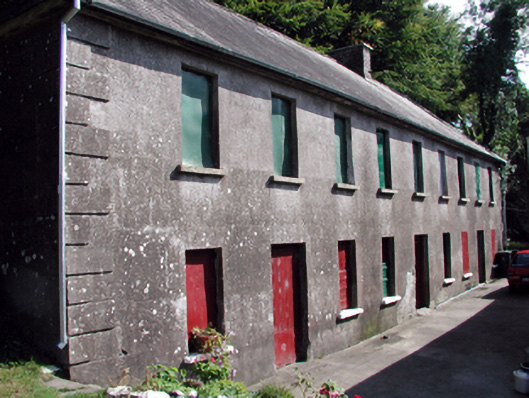 The Half-Way Houseunknown · 950 yd
 Fulacht fia in KnockatrellaneFulacht fia · 1625 yd
 Grave YardGraveyard · 1.0 mi
 Site of CastleCastle, unclassified · 1.2 mi
 Pigeon HillMountain / peak · 1.5 mi
 Curraghcloney CastleCastle · 1.5 mi
 Laeka WoodWood · 2.3 mi
 KnockeenMountain / peak · 2.4 mi
 Turraphuca WoodForest · 3.5 mi
 European long distance path E8 - part IrelandWalking route · 5.0 mi