What is recorded here
Located in a marshy hollow at the bottom of an E-facing slope. A burnt spread came to light c. 0.5m below the sod in soil stripping (03E1300) for an extensive residential development (Wallace 2003) and was subsequently completely excavated (03E1632). It had been cut by a N-S field bank and hardly survived E of this feature. It was also cut by some E-W drains. It consisted of a thin spread of broken and burnt stone (dims 10m N-S; 7m E-W; max. T 0.2m) overlying a grey marl. A pit (dims 1.75m x 1m) 4.25m to the W was cut by three small drains. The pit had three fills, including burnt and decayed stone with charcoal flecks and it may have served as a trough for the burnt spread. Some post-holes were also beneath the burnt spread. Archaeological testing (20E0609) by C. Duffy c. 70m to the SE at the closest point produced no related material (excavations.ie 2020:346).(Wallace 2006a)
Compiled by: Michael Moore
Date of upload: 15 September 2020
Burnt mound in Ratoath is a Neolithic ritual or industrial site, dated to approximately 2500–2000 BCE. Its significance lies in providing evidence of early land use, heat-related activities, and possible ceremonial practices in the Neolithic period.
The monument record does not grant public access. Check the route and ask the landowner before entering private land.
- What survives
- Recorded monument
Places near here
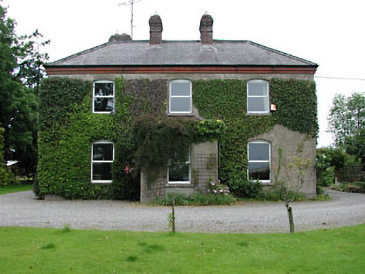 Park Househouse · 280 yd
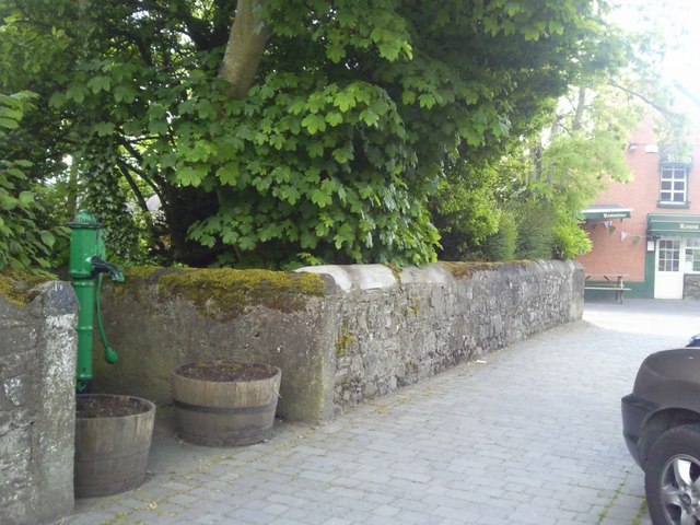 Enclosure in RatoathEnclosure · 305 yd
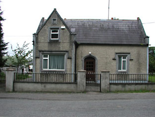 The Barrackshouse · 453 yd
 CrossCross, Market cross · 495 yd
 MoatCastle, motte and bailey · 667 yd
 CastleCastle, unclassified · 1.9 mi
 Lemur WoodWood · 2.4 mi
 Emerald ParkHeritage attraction · 2.4 mi
 AshbourneMemorial · 3.6 mi
 Newtown HillMountain / peak · 3.8 mi
 Cornstown HouseHeritage attraction · 3.8 mi
 Caulstown Christmas Tree FarmForest · 4.4 mi