What is recorded here
In tillage, on a NNW-facing slope. A spread of heat-shattered stones and charcoal-enriched soil in a ploughed field was noted and photographed in 1995 (pers. comm. Joan Rockley). This possible burnt mound could not be inspected in 2007 as there was a mature crop in the field. A second possible burnt mound (CO076-116002-) lies c. 40m to the S in the same field.
The above description is derived from 'The Archaeological Inventory of County Cork. Volume 5' (Dublin: Stationery Office, 2009).
Date of upload: 22 December 2009
A possible burnt mound, likely dating to the Neolithic or Bronze Age, representing a site of domestic or ritual activity involving fire. Its significance lies in contributing to the understanding of prehistoric land use and settlement patterns in the region.
The monument record does not grant public access. Check the route and ask the landowner before entering private land.
- What survives
- Recorded monument
Places near here
 Rathcoursey East Househouse · 387 yd
 Seaviewhouse · 646 yd
 Burnt mound in Bawnard WestBurnt mound · 1189 yd
 Garrankinnefeake GraveyardRuins · 1191 yd
 Grave YdGraveyard · 1267 yd
 CastleCastle, unclassified · 1471 yd
 Bagwells TowerCastle · 1744 yd
 Tower WoodForest · 1.1 mi
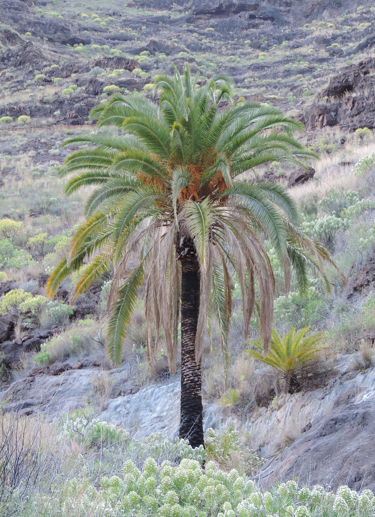 Canary Island date palmCanary Island date palm · 1.4 mi
 Edward BransfieldMemorial · 1.8 mi
 Site of old schoolHeritage attraction · 1.9 mi
 Titanic Memorial GardenHeritage attraction · 4.3 mi