What is recorded here
Located on a W-facing slope down to a N-S section of the Moynalty River. Archaeological monitoring (07E0942) of a water scheme at Moynalty village identified burnt mound material on the proposed site of a water treatment plant. Only a small part was investigated but it consisted of four small spreads of broken and burnt stone (T 0.6m) and associated features. Other prehistoric features (ME011-051002-) were excavated c. 55m to the NE. The design was altered and the remainder of the burnt mound is preserved in situ. (Clutterbuck 2009, 13-4; 2011)
Compiled by: Michel Moore
Date of upload: 3 April, 2019
Burnt mound in Moynalty is a Bronze Age ritual or industrial site, characterized by the presence of heat-shattered stones and associated debris. Its discovery during archaeological monitoring highlights the area's prehistoric activity and the need for further investigation into its function and broader landscape context.
The monument record does not grant public access. Check the route and ask the landowner before entering private land.
- What survives
- Recorded monument
Places near here
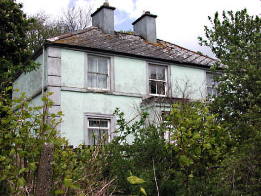 Riverviewhouse · 221 yd
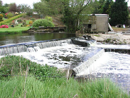 weirweir · 404 yd
 Reillystown FortArchaeological place · 533 yd
 Blockisland WoodWood · 575 yd
 Moynalty Steam Threshing MuseumMuseum · 608 yd
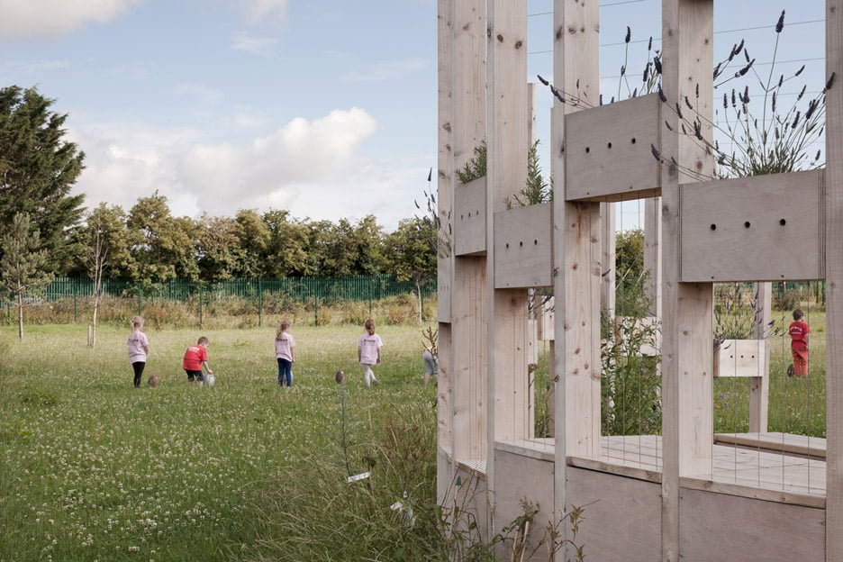 Moynalty Hedge SchoolArchaeological place · 704 yd
 Saltford FortWood · 822 yd
 Castle (in Ruins)Castle, unclassified · 1.0 mi
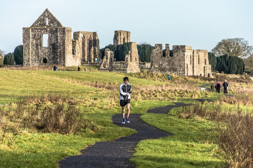 NewtownMountain / peak · 1.0 mi
 CastleCastle, motte · 2.1 mi
 DeerparkMountain / peak · 2.3 mi
 John Mac MahonMemorial · 2.6 mi