What is recorded here
Identified in centre-line testing (E4110) in advance of the M11 Gorey to Enniscorthy road scheme and set aside for resolution as Monroe 3 (Hardy et al. 2010, 16). It is situated in the slight valley of a NE-SW stream, which was c. 10m to the NW but is now channelled into a drain c. 150m to the NW. It was excavated (E4274) by C. Hardy who recorded a spread of broken and burnt stone (dims 4.25m NE-SW; 2.2m NW-SE; max. T 0.2m), which was at the edge of a natural depression at SE, but no trough or other features were recorded. The burnt mound (WX026-090002-) is c. 35m to the SW, while the fulachta fia (WX026-090004-; WX026-090005-) are c. 65m to the ENE and c. 95m to the NNE respectively. (Hardy 2011, 2013)
Compiled by: Michael Moore
Date of upload: 29 November, 2013
Burnt mound in Monroe is a Neolithic ritual or industrial site, dating to the 4th–3rd millennia BCE. Its significance lies in providing evidence of early land use and possible ceremonial activity in the Enniscorthy area.
The monument record does not grant public access. Check the route and ask the landowner before entering private land.
- What survives
- Recorded monument
Places near here
 Fulacht fia in Monroe (ballaghkeen By., Edermine Ed)Fulacht fia · 60 yd
 Fulacht fia in RiverviewFulacht fia · 790 yd
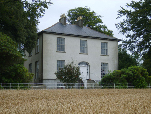 Rochfort Housefarm house · 1573 yd
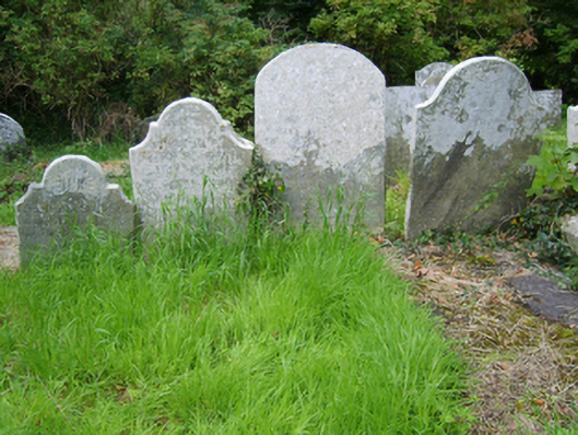 Edermine Church (Edermine)graveyard/cemetery · 1746 yd
 Scurlocksbush HillMountain / peak · 1.1 mi
 Black Castle (in ruins)Castle, tower house · 1.1 mi
 CastleCastle, ringwork · 2.1 mi
 National 1798 CentreMuseum · 2.7 mi
 Battle of Vinegar HillMajor battlefield · 3.0 mi
 Duffry GateMemorial · 3.2 mi
 U.N. Peace MemorialMonument · 3.2 mi
 Raheennahoon HillMountain / peak · 6.2 mi