What is recorded here
In pasture/grazing, in a small valley of damp ground overlooked to S and W by a steep ridge slope. Roughly circular, sod-covered mound (c. 6m E–W; c. 4.5m N–S; H 0.5m) abutted at NW by remnants of a later field bank (Wth 1m; H 0.4m). Angular stone fragments in dark, charcoal flecked soil are exposed in the side of the mound where a small area of sod has been eroded away. A field drain is located 5m to N. There are two fulachtaí fia (SL018-090001-; SL018-090001-) immediately to N of the field drain.
Compiled by: Jane O'Shaughnessy
Date of upload: 18 December 2014
Burnt mound, likely dating to the Neolithic or early Bronze Age. Such features are often associated with ritual or industrial activities, though their exact function remains debated.
The monument record does not grant public access. Check the route and ask the landowner before entering private land.
- What survives
- Recorded monument
Places near here
 Enclosure in LugdoonEnclosure · 124 yd
 IndicatedFairy fort / earthen ringfort · 449 yd
 Catholic Church of the Immaculate Conceptionchurch/chapel · 1149 yd
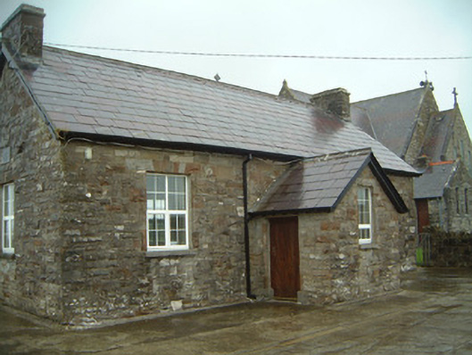 Templeterrace National Schoolschool · 1161 yd
 CastleCastle, tower house · 1363 yd
 Aughris BeachBeach / strand · 2.9 mi
 Aughris HeadHeadland · 3.0 mi
 DonaghHeadland · 3.1 mi
 Site of Dunneill CastleCastle, unclassified · 3.1 mi
 Knockalongy North-East TopMountain / peak · 3.2 mi
 KnockalongyMountain / peak · 3.3 mi
 Dunmoran StrandBeach / strand · 3.4 mi