What is recorded here
Situated in the valley of the NNW-SSE Mahon river, with the river c. 30m to the W. It was identified in testing (05E0695) for a water-pipe at the S end of Trench 4. A number of linear, oval and irregularly-shaped features, probably pits (D up to 0.4m), appeared beneath spreads of broken and burnt stone (diam. c. 25m). (Tierney 1999)
Compiled by: Michael Moore.
Date of upload: 17th December, 2010.
A burnt mound; likely dating to the Bronze Age. It represents a domestic or ritual site, possibly used for heating water or processing materials.
The monument record does not grant public access. Check the route and ask the landowner before entering private land.
- What survives
- Recorded monument
Places near here
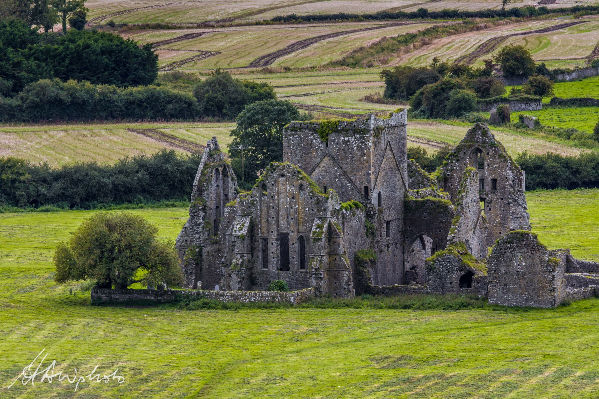 Burnt mound in GraigueshoneenBurnt mound · 146 yd
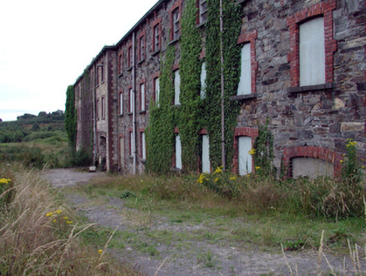 mill (water)mill (water) · 394 yd
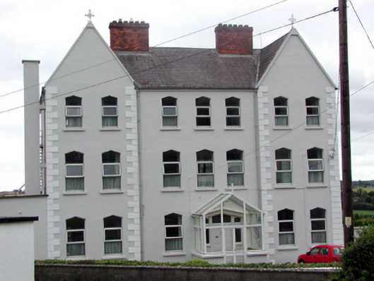 Convent of Mercyconvent/nunnery · 421 yd
 8 Arch GalleryGallery · 428 yd
 Site of Cas.Castle, unclassified · 572 yd
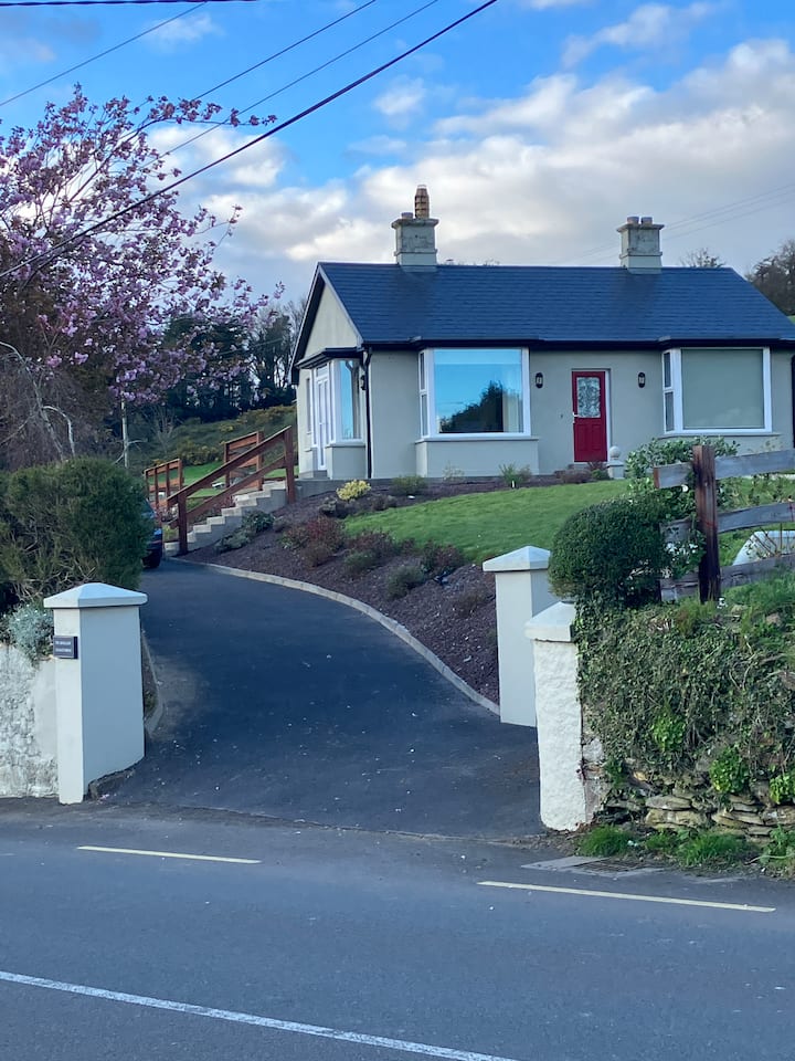 Fulacht fia in KilmacthomasFulacht fia · 867 yd
 Castle (in ruins)Castle, unclassified · 1.2 mi
 Croughaun HillMountain / peak · 3.4 mi
 Crough WoodWood · 4.0 mi
 Kilclooney WoodForest · 4.3 mi
 Magic Road (finish)Heritage attraction · 4.7 mi
 St. Bernard's WellSpring · 4.8 mi