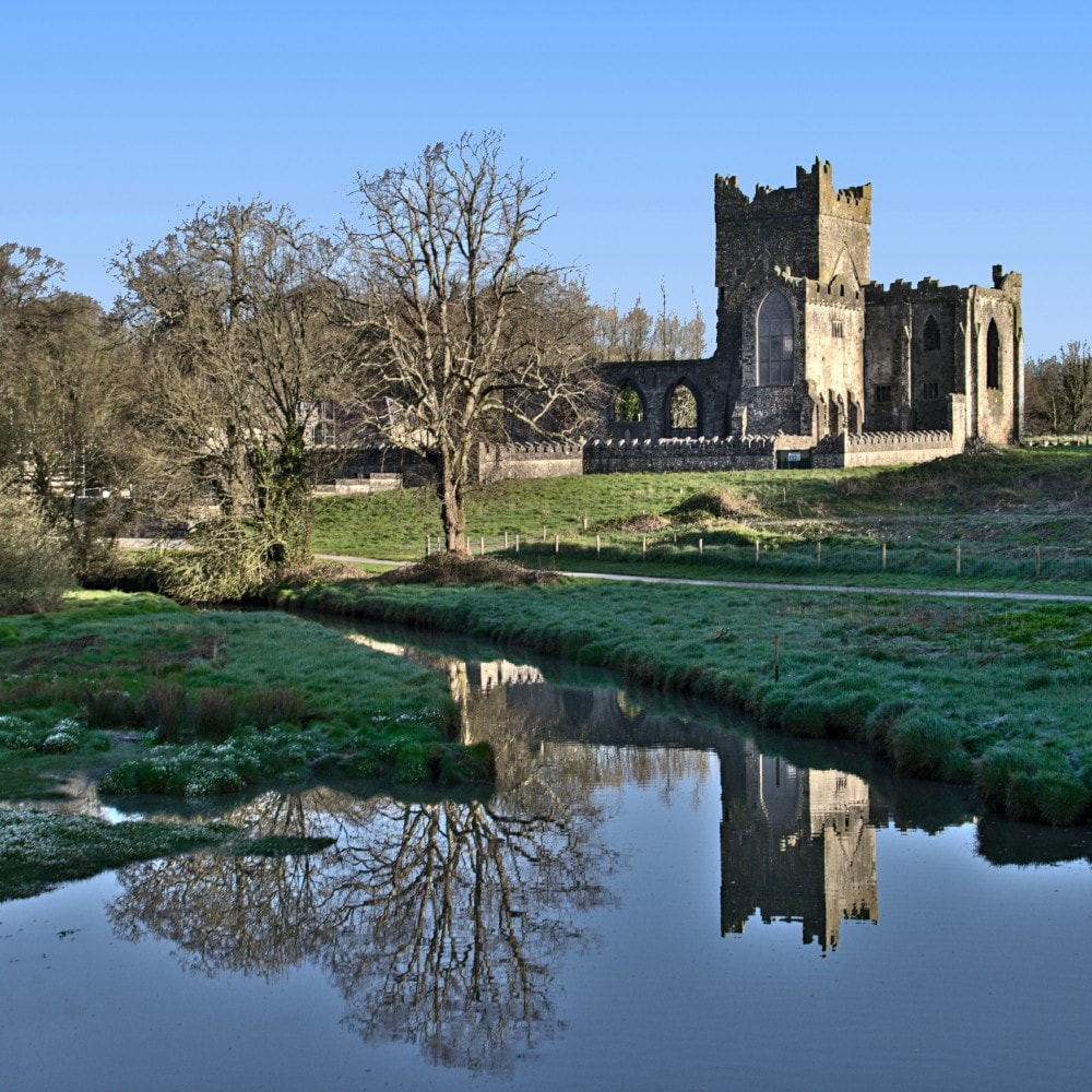
What is recorded here
Situated on the floor of a N-S valley at the E side with a N-S stream c. 100m to the W. A D-shaped area of broken and burnt stone (dims. 4m N-S; 4m E-W) is visible when ploughed, but it extends under the N-S field bank immediately to the W. Burnt mound (WA016-106002-) is c. 55m to the SSW.
The above description is derived from the published 'Archaeological Inventory of County Waterford' (Dublin: Stationery Office, 1999). In certain instances the entries have been revised and updated in the light of recent research.
Compiled by: Michael Moore.
Date of upload/revision: 21 December 2010.
Burnt mound, likely dating to the Neolithic or early Bronze Age. These features are commonly associated with ritual or industrial activities, such as heat-treated stone use in cooking or hide processing.
The monument record does not grant public access. Check the route and ask the landowner before entering private land.
- What survives
- Recorded monument
Places near here
 Burnt spread in JohnstownBurnt spread · 255 yd
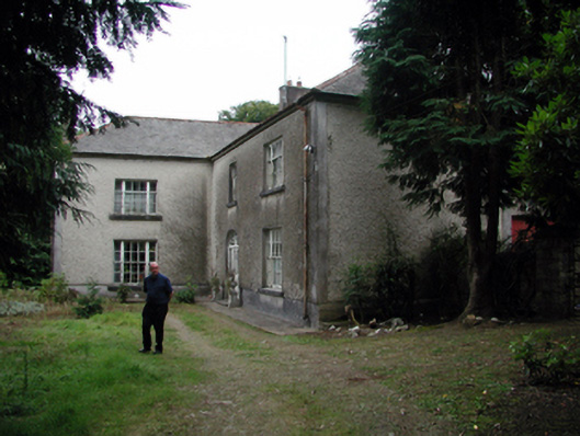 Knockaderry Househouse · 1433 yd
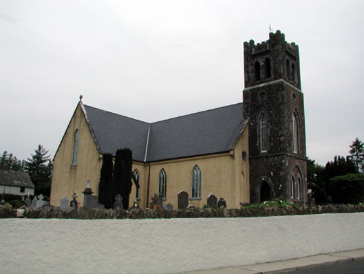 Saint Nicholas's Catholic ChurchOfficially recorded historic building · 1.0 mi
 Enclosure in CarrickanureEnclosure · 1.1 mi
 Site of CastleCastle, unclassified · 1.7 mi
 IndicatedBawn · 2.1 mi
 Waterford & Suir Valley RailwayHeritage attraction · 2.4 mi
 Sweet micheliaSweet michelia · 2.7 mi
 Sargent's magnoliaSargent's magnolia · 2.8 mi
 Mount Congreve GardensHeritage attraction · 3.1 mi
 St. Martin's WellSpring · 3.6 mi
 Ballyscanlon HillMountain / peak · 4.1 mi
Other information
Photo: Credit not shown in the picture search · Rights wording not checked; contact us if this picture should be removed