
What is recorded here
An oval enclosure (dims. c. 70m NE-SW; c. 50m NW-SE, tapering to c. 20m towards the SW) identified by Lidar commissioned by Transport Infrastructure Ireland (pers. comm. Simon Dowling 4 February 2018). On the 1st (1840) ed. OS 6-inch map there is a small reclaimed field surrounded by bog on three sides, to the N, S and W. This field is roughly on the location of the oval enclosure, but the enclosure, which is slightly truncated by a field boundary running roughly N-S along the E edge, appears to be pre-date this.
See attached Lidar image by Simon Dowling:
WA016-146----_01
Compiled by: Jean Farrelly
Date of upload: 21 May 2019
The monument record does not grant public access. Check the route and ask the landowner before entering private land.
- What survives
- Recorded monument
Places near here
 Megalithic structure in CarrickanureMegalithic structure · 340 yd
 Church in Kilmoyemoge EastChurch · 808 yd
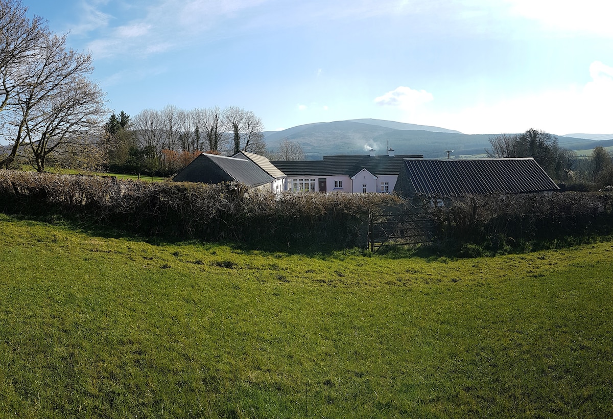 Enclosure in Kilmoyemoge EastEnclosure · 1117 yd
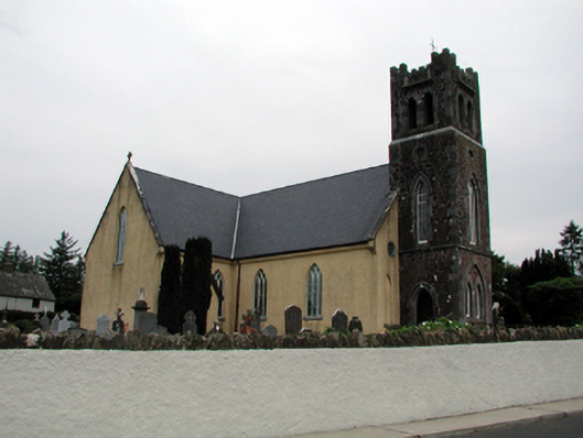 Saint Nicholas's Catholic ChurchOfficially recorded historic building · 1500 yd
 Site of CastleCastle, unclassified · 1.3 mi
 Waterford & Suir Valley RailwayHeritage attraction · 2.1 mi
 Glenhouse WoodForest · 2.5 mi
 CastleCastle, unclassified · 2.7 mi
 Sargent's magnoliaSargent's magnolia · 2.8 mi
 Donnell's HillMountain / peak · 3.2 mi
 Mount Congreve GardensHeritage attraction · 3.2 mi
 St. Martin's WellSpring · 4.3 mi
Other information
Photo: Credit not shown in the picture search · Rights wording not checked; contact us if this picture should be removed