
What is recorded here
In tillage. On an elevated position on a S-facing slope, above a tributary of the Whelansbridge River (O’Donovan 2023). There are excellent views to the S and W (ibid.). Identified during archaeological monitoring in advance of afforestation.
A charcoal spread (dims. 10m x 5m) incorporating burnt stone (stones measuring c. 0.12m to 0.03-4m) (ibid.). A separate oval-shaped area (dims. 3-4m) of grey clay, clearly different from the natural brown silty clay of the field, was identified 5m to the E of the charcoal spread (ibid.). This was interpreted as a house site or a craft production area (ibid.).
The monument record does not grant public access. Check the route and ask the landowner before entering private land.
- What survives
- Recorded monument
Places near here
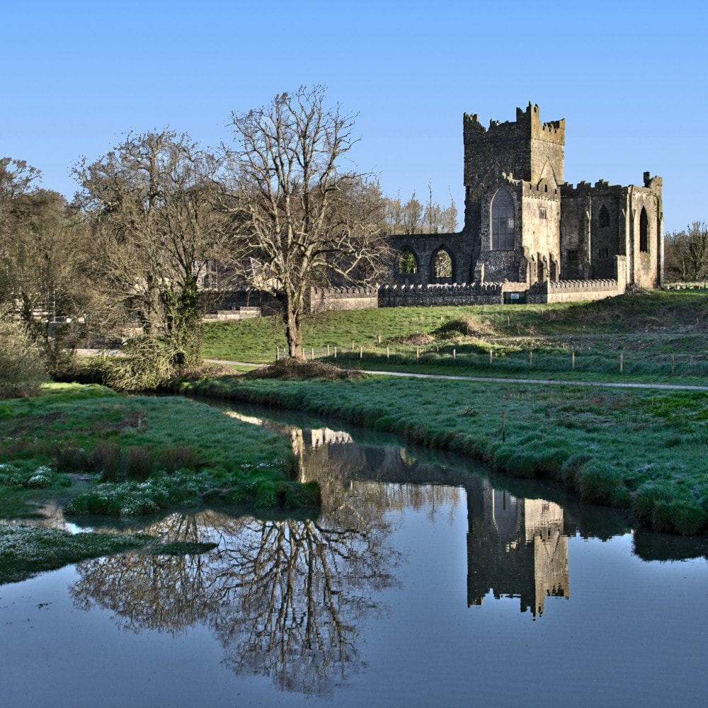 Burnt mound in JohnstownBurnt mound · 255 yd
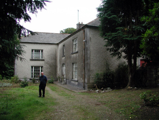 Knockaderry Househouse · 1360 yd
 Enclosure in Ballyshonock,hacketstown (middlethird By.)Enclosure · 1.2 mi
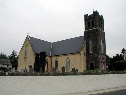 Saint Nicholas's Catholic ChurchOfficially recorded historic building · 1.2 mi
 Site of CastleCastle, unclassified · 1.8 mi
 Waterford & Suir Valley RailwayHeritage attraction · 2.5 mi
 Mote or TumulusCastle, motte · 2.5 mi
 Sweet micheliaSweet michelia · 2.8 mi
 Sargent's magnoliaSargent's magnolia · 2.9 mi
 Mount Congreve GardensHeritage attraction · 3.1 mi
 St. Martin's WellSpring · 3.4 mi
 Ballyscanlon HillMountain / peak · 4.0 mi
Other information
Photo: Credit not shown in the picture search · Rights wording not checked; contact us if this picture should be removed