
What is recorded here
Situated towards the bottom of an E-facing slope, with the S-N Ballymoat stream c. 200m to the E. Loughdeheen was originally owned by the Knights Hospitallers of Kilbarry (WA017-003001-), but after the Suppression it passed to the Wyse family who probably built the gatehouse (WA017-018001-) and bawn.
The subrectangular bawn (int. dims. 40-58m NE-SW; 50m NW-SE) is defined by a mortared stone wall (int. H 1m; ext. H 1.8-2.4m; T 1m) on the NE, SE and the S part of the SW sides. A stone-faced earthen bank (Wth 5m; H 1.2-1.7m) completes the N part of the SW side. The bawn is now divided into three fields and covers c. 0.3ha.
The castle at Loughdeheen was originally held by the Knights Hospitallers of Kilbarry before the Suppression in the 16th century. It is remembered as part of the medieval religious and military order's landholdings in the region.
The monument record does not grant public access. Check the route and ask the landowner before entering private land.
- What survives
- Recorded monument
Places near here
 Mote or TumulusCastle, motte · 878 yd
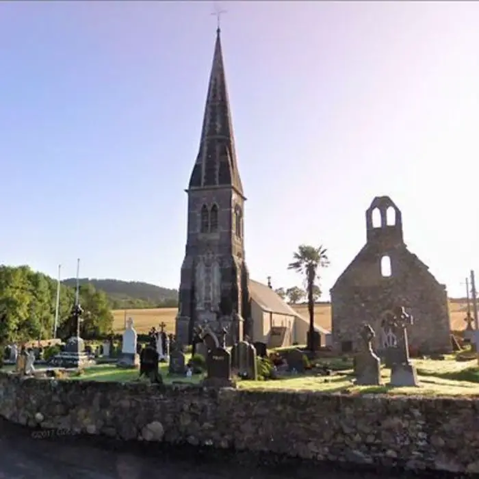 Church in LoughdeheenChurch · 1315 yd
 DolmenPortal tomb · 1334 yd
 Gaulstown Portal TombArchaeological place · 1359 yd
 Chruch (in ruins)Church · 1509 yd
 Site of CastleCastle, unclassified · 1.3 mi
 Sweet micheliaSweet michelia · 2.2 mi
 Monterey CypressMonterey Cypress · 2.2 mi
 Mount Congreve GardensHeritage attraction · 2.3 mi
 Waterford & Suir Valley RailwayHeritage attraction · 2.7 mi
 Ballyscanlon HillMountain / peak · 2.9 mi
 St. Martin's WellSpring · 4.3 mi
Other information
Photo: Credit not shown in the picture search · Rights wording not checked; contact us if this picture should be removed