
What is recorded here
Situated at the crest of the NW-facing slope of a N-S ridge. The parish church of Lisnakill was in ruins in 1615 (Power 1913, 116). It is within a rectangular graveyard (dims. c. 60m E-W; c. 25m N-S) defined by a stone wall or stone-faced earthen bank, which was built since c. 1840 at the behest of a Mrs. Margaret Power, according to a plaque. On the 1840 ed. of the OS 6-inch map the graveyard is a circular area (diam. c. 45m).
The church is an undifferentiated structure (min. int. dims. 13.7m E-W; 4.8m N-S) of which the foundations of the E, N (max. ext. H 1.8m; int. H 0.8m) and S walls (max. H 1.8m) survive with some putlogs, while the W wall is entirely missing. There is a destroyed doorway and plain light in the S wall with a pointed aumbry towards the E end. A transverse wall (H 0.5m), W of the doorway, retains soil in the church interior, but it may indicate a tower at the W end. A stoup, or possibly a bullaun stone (Power 1895b, 167-8), is now missing but a fragment of a twin-light, ogee-headed window is in the graveyard. Archaeological testing (98E0048) immediately to the S of the graveyard produced no archaeological material (Scully 1998).
Power, Rev. P. (1895b) The ancient ruined churches of Waterford. WAJ. 1, 133-41, 152-72; 247-53.
Power, Rev. P. (1913) Material condition of the churches of Waterford. WAJ 16, 114-21.
Scully, O. (1998) Lisnakill, Butlerstown. Adjacent to church. in I. Bennett (Ed.) Excavations 1998: summary accounts of excavations in Ireland, 206, No. 633. Wordwell. Bray.
The above description is derived from the published 'Archaeological Inventory of County Waterford' (Dublin: Stationery Office, 1999). In certain instances the entries have been revised and updated in the light of recent research.
Compiled by: Michael Moore
Date of upload: 24 May 2011
A local church or high cross; wider significance not recorded.
The monument record does not grant public access. Check the route and ask the landowner before entering private land.
- What survives
- Recorded monument
Places near here
 DolmenPortal tomb · 1026 yd
 Gaulstown Portal TombArchaeological place · 1039 yd
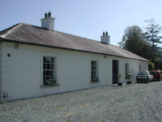 Pembrokestown Housecountry house · 1164 yd
 Mote or TumulusCastle, motte · 1181 yd
 IndicatedBawn · 1509 yd
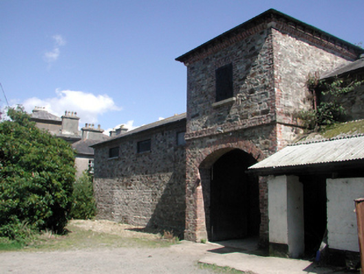 Whitfield Houseoutbuilding · 1.0 mi
 Sugar Loaf RockMountain / peak · 1.6 mi
 Mount Congreve GardensHeritage attraction · 1.9 mi
 Monterey CypressMonterey Cypress · 1.9 mi
 Sweet micheliaSweet michelia · 1.9 mi
 Waterford & Suir Valley RailwayHeritage attraction · 2.8 mi
 Ballyscanlon HillMountain / peak · 3.3 mi
Other information
Photo: Credit not shown in the picture search · Rights wording not checked; contact us if this picture should be removed