What is recorded here
Situated in rough, poorly-drained pasture adjacent to a small stream. Not marked on any edition of the OS 6-inch map. According to local information, at this location there was a low, sod-covered rise which was levelled during reclamation works, revealing a concentration of stone fragments within a matrix of black soil.
Compiled by: Patrick F. O'Donovan
Date of upload: 19 January 2011
A burnt mound; date uncertain, but likely Bronze Age. It represents a domestic or ritual site where heat-treated stone was used, common in early agricultural and ceremonial practices.
The monument record does not grant public access. Check the route and ask the landowner before entering private land.
- What survives
- Recorded monument
Places near here
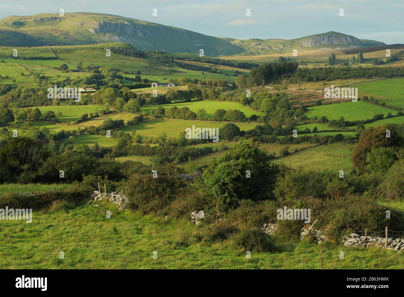 IndicatedEnclosure · 892 yd
 Fulacht fia in BarnacoghilFulacht fia · 967 yd
 CastleCastle, tower house · 1.6 mi
 Lady Margaret's TowerRuins · 1.9 mi
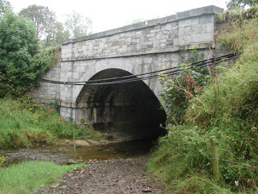 bridgebridge · 1.9 mi
 Site of Dunneill CastleCastle, unclassified · 2.6 mi
 Eamonn's TopMountain / peak · 3.0 mi
 White RockNamed rock · 3.1 mi
 Knockalongy South-West TopMountain / peak · 3.2 mi
 DonaghHeadland · 3.5 mi
 Aughris BeachBeach / strand · 4.9 mi
 Dunmoran StrandBeach / strand · 5.4 mi