What is recorded here
Situated in reclaimed grassland. Outline of low circular-shaped mound (approx. diam. 10m) visible on Digital Globe orthoimage taken 2011-13. Visible as a grove of trees on OSi Historic 25-inch map and as a low rise with tree planted on top on 1840 ed. OSi 6-inch map. Possibly an archaeological mound which was reuse as a tree-plantation in the post-1700 period.
Compiled by: Caimin O’Brien
Date of upload: 25 January 2020
Burnt mound in Drummin is a Bronze Age ritual or industrial site, characterized by a low circular mound associated with heat-related activities. Its significance lies in providing evidence of early land use and possible ceremonial practices in the local area.
The monument record does not grant public access. Check the route and ask the landowner before entering private land.
- What survives
- Recorded monument
Places near here
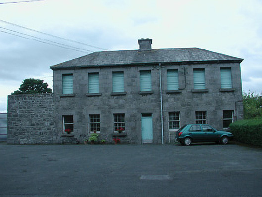 laundrylaundry · 881 yd
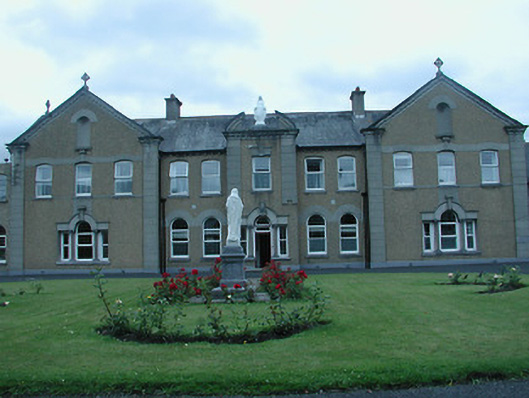 Saint Mary's Convent of Mercyconvent/nunnery · 901 yd
 Nenagh Heritage CentreMuseum · 927 yd
 Nenagh CastleCastle · 1114 yd
 CastleCastle, Anglo-Norman masonry castle · 1116 yd
 Old BarracksHeritage attraction · 1164 yd
 Town defences in Nenagh South,nenagh NorthTown defences · 1269 yd
 St. Johns WellHoly well · 1462 yd
 Gibbet HillMountain / peak · 3.3 mi
 James Devaney MemorialMemorial · 3.5 mi
 Knigh HillMountain / peak · 3.6 mi
 Blessed WellNature reserve · 4.3 mi