What is recorded here
A survey of the proposed M11 Gorey to Enniscorthy motorway in 2010 (Kieran and Hayden 2010) noted a burnt mound in the bank of a stream (L 3.4m; T 0.3-0.5m), and it came to light again during the monitoring of topsoil removal and related works in 2016. It is preserved in situ within the motorway property at the boundary of a run-off pond. (Whitty and Kavanagh 20118, 2-3)
Compiled by: Michael Moore
Date if upload: 3 November 2020
Burnt mound in Drumgold is a prehistoric ritual or industrial site, likely dating to the Neolithic or Bronze Age, and represents evidence of early human activity associated with heat-related processes or ceremonies. Its significance lies in contributing to the understanding of landscape use and technological practices in early Irish settlements.
The monument record does not grant public access. Check the route and ask the landowner before entering private land.
- What survives
- Recorded monument
Places near here
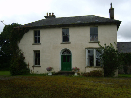 Ballycourcy Housefarm house · 202 yd
 Hearth in CooladineHearth · 235 yd
 Structure in CooladineStructure · 432 yd
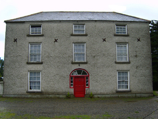 Cooladine Housefarm house · 798 yd
 Vinegar HillMountain / peak · 1.4 mi
 Battle of Vinegar Hill, 1798Monument · 1.4 mi
 IndicatedCastle, motte · 1.4 mi
 National 1798 CentreMuseum · 1.8 mi
 Battle of Vinegar HillMajor battlefield · 1.9 mi
 U.N. Peace MemorialMonument · 2.1 mi
 Duffry GateMemorial · 2.1 mi
 CastleCastle, ringwork · 2.6 mi