
What is recorded here
Situated on the floor of the valley of the River Blackwater, with a WNW-ESE section of the stream c. 50m to the S. Archaeological testing (04E1060) by D. Bayley (2005) at Testing Area 9 of Contract 5 of the M3 motorway identified archaeological features in a limited area (dims c. 25m x c. 15m) that were completely…
Read the whole record
From the National Monuments Service (Archaeological Survey of Ireland) record ME010-052
Places near here
Photo credits
- Maker not stated on source page, www.flickr.com
- Maker not stated on source page, www.irishamericanmom.com
- Maker not stated on source page, ms.fusedlearning.com
- Maker not stated on source page, www.pinterest.nz
- National Inventory of Architectural Heritage
- Maker not stated on source page, commons.wikimedia.org
- Didier Descouens, Wikimedia Commons · CC BY-SA 4.0
 Fairy fort / earthen ringfort in PottlebaneFairy fort / earthen ringfort · 1292 yd
Explorer Tom Fairy fort / earthen ringfort in Pottlebane nearly got sold to a farmer for a horse once. The guy checked the price and…
 Fairy fort / earthen ringfort in BalgreeFairy fort / earthen ringfort · 1427 yd
Explorer Tom Fairy fort / earthen ringfort in Balgree gave up rectangularity for Lent because it found the shape too rigid and…
 Fairy fort / earthen ringfort in RahendrickFairy fort / earthen ringfort · 1572 yd
Explorer Tom Fairy fort / earthen ringfort in Rahendrick has a retirement plan involving being turned into a garden path. It’s been…
 Fairy fort / earthen ringfort in EdenburtFairy fort / earthen ringfort · 1652 yd
Explorer Tom Fairy fort / earthen ringfort in Edenburt thinks the road leading to it is just a fancy footpath for cows that lost…
 Derver GraveyardGraveyard · 1691 yd
Explorer Tom Derver Graveyard in County Cavan supposedly means 'The Place Where You Forget Your Shoes' according to my very reliable…
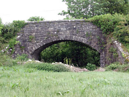 Woodpole BridgeBridge · 1.1 mi
Explorer Tom Woodpole Bridge hosted a dance party once where the horses got too rowdy and the moon fell over. The stonework is…
 bridge1.1 mi
Explorer Tom Bridge in Pottlereagh goes clack-clack at night like a ghost doing its best impression of a train. It’s got that old…
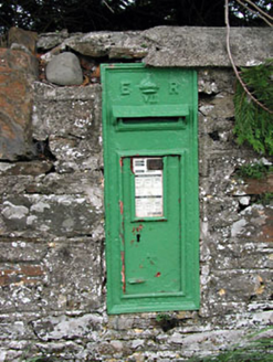 post box1.1 mi
Explorer Tom Post box in Pottlereagh is sitting there looking all smug and cast-irony. It's got that classic 'I was here before…
 Virginia Road Railway StationRailway station · 1.1 mi
Explorer Tom Virginia Road Railway Station was designed by a mother-in-law who insisted on limestone dressings because she wanted…
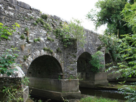 O'Daly's BridgeBridge · 1.2 mi
Explorer Tom O'Daly's Bridge spans the border with stepped cutwaters that look like they're trying to climb out of the river. It's…
 Holy Family CemeteryCemetery · 1.4 mi
Explorer Tom Holy Family Cemetery is still working through that massive parish argument from last century about who put the gate…
 Hawthorn1.8 mi
Explorer Tom Hawthorn in Meath has thorns sharp enough to survive any zombie attack without breaking a sweat. It’s the ultimate…
More archaeology and monuments in County Meath · All of County Meath

What do you know about this place?Tap to add a comment or ask a question