
What is recorded here
Situated on a NW-facing slope in the valley of the upper Araglin river. A slight grass-covered rise (dims. c. 20m N-S; c. 15m E-W; H c. 0.3m) composed of burnt and broken stone in a black matrix (D 0.3m) which was exposed in a pipe trench during 1996.
This monument forms part of the national monument complex at Coumaraglinmountain (National Monuments (Preservation) Order No. 4 of 1996).
The above description is derived from the published 'Archaeological Inventory of County Waterford' (Dublin: Stationery Office, 1999). In certain instances the entries have been revised and updated in the light of recent research.
Compiled by: Michael Moore
Date of upload/revision: 6 May 2011
Burnt mound in Coumaraglinmountain is a Bronze Age ritual or industrial site, characterized by a heap of heat-shattered stones. Its significance lies in providing evidence of early land use and possible ceremonial activity in the upper Araglin river valley.
The monument record does not grant public access. Check the route and ask the landowner before entering private land.
- What survives
- Recorded monument
Places near here
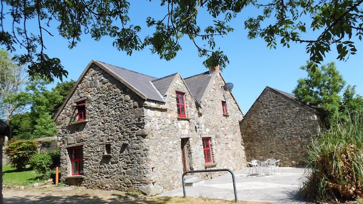 Hut site in CoumaraglinmountainHut site · 163 yd
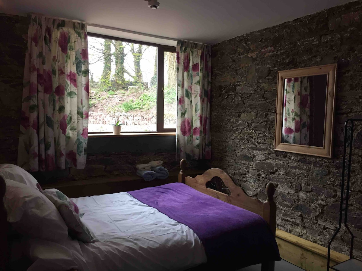 Enclosure in CoumaraglinmountainEnclosure · 208 yd
 Standing StoneMemorial · 540 yd
 KilnKiln, lime · 653 yd
 Coumaraglin MountainMountain / peak · 1.1 mi
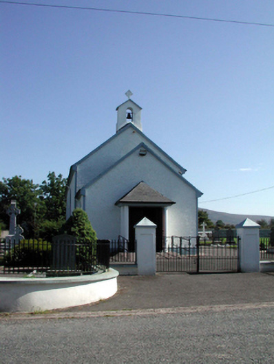 Saint Patrick's Catholic Churchchurch/chapel · 1.8 mi
 SeefinMountain / peak · 2.0 mi
 Bawn in BarnankileBawn · 3.0 mi
 Mahon ValleyCliff · 3.2 mi
 Magic Road (start)Heritage attraction · 4.1 mi
 Magic Road (finish)Heritage attraction · 4.1 mi
 Castle (in ruins)Castle, tower house · 4.3 mi
Other information
Photo: Credit not shown in the picture search · Rights wording not checked; contact us if this picture should be removed