What is recorded here
An area of burnt limestone and sandstone was uncovered in archaeological testing (00E0393) on the subsoil in ground preparation for a housing scheme, and it is preserved in situ on a small D-shaped green (dims c. 35m NE-SW; c. 10m NW-SE) c. 15m NE of fulacht fia (RO007-018002-) and c. 80m SW of rath (RO006-018----). (Gregory 2002, 292)
Compiled by: Michael Moore
Date of revised upload: 27 May 2015
Burnt mound; date uncertain but likely Bronze Age. It represents a domestic or ritual activity site, common in the Irish landscape for cooking, heating, or ceremonial purposes.
The monument record does not grant public access. Check the route and ask the landowner before entering private land.
- What survives
- Recorded monument
Places near here
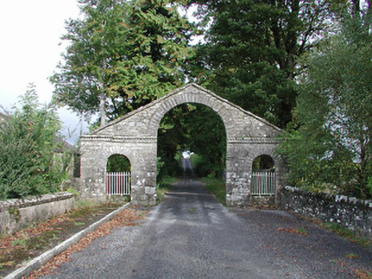 The Bawndemesne walls/gates/railings · 362 yd
 Cootehall Bridgebridge · 429 yd
 IndicatedBawn · 430 yd
 Embanked enclosureFairy fort / earthen ringfort · 463 yd
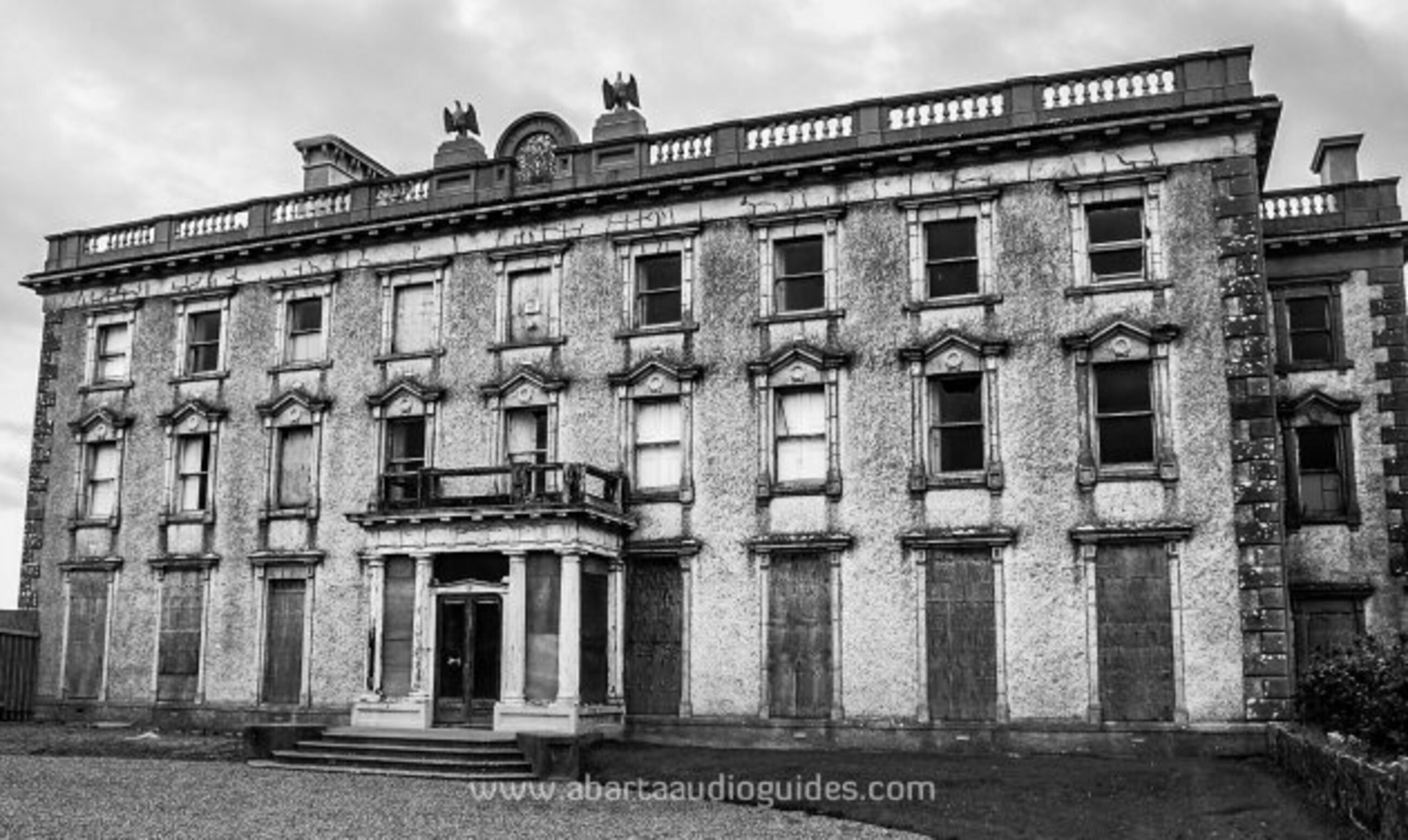 Enclosure in LisfarrellboyEnclosure · 622 yd
 Hughestown WoodForest · 1.5 mi
 Horse-chestnutHorse-chestnut · 3.3 mi
 Battle of Áth an Chipbattle · 3.3 mi
 PortCastle, unclassified · 3.4 mi
 Swallow IslandIslet · 3.4 mi
 InishnagonIsland · 3.6 mi
 Moon RiverHeritage attraction · 3.8 mi