What is recorded here
Mound partially destroyed and investigated in 1880's (U.J.A. 1853 276-8), said to be c. 2m H and c. 27m in diam, apparently the W half was removed at this time. Contained parallel graves orientated E-W and at least 40 skeletons removed and reburied elsewhere. Mound now 18.6m max. diam; H c. 2m.
From the National Monuments Service (Archaeological Survey of Ireland) record OF011-007
The monument record does not grant public access. Check the route and ask the landowner before entering private land.
- What survives
- Recorded monument
Places near here
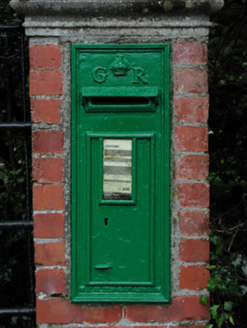 post box865 yd
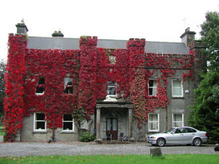 Jonestown HouseCountry house · 955 ydSettlement desertedSettlement deserted, medieval · 1175 yd
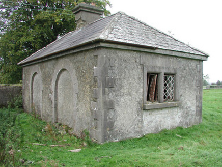 Monasteroris HouseGate lodge · 1262 yd
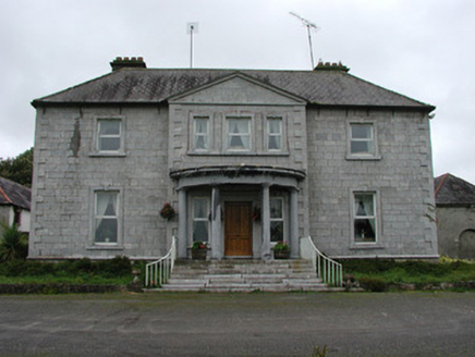 Monasteroris HouseCountry house · 1411 yd
 Grange CastleCastle, tower house · 2.2 mi
 Blundell Castle (in ruins)Castle, tower house · 2.2 miClonin EarthworksMountain / peak · 4.5 miMoat HillMountain / peak · 4.8 mi
 Downan Grave YardGraveyard · 5.7 mi
 Horse-chestnut7.3 mi
 European Beech12 mi
Pictures: National Inventory of Architectural Heritage; Douglas P.Bermingham, Wikimedia Commons · CC BY-SA 3.0; Dougbermingham ( talk ) ( Uploads ), Wikimedia Commons · CC0; Kenneth Gallery Smyth, Geograph · Creative Commons Attribution-ShareAlike 2.0; Stephan van Helden, Wikimedia Commons · CC BY-SA 4.0; Malene Thyssen, Wikimedia Commons · CC BY-SA 3.0
More archaeology and monuments in County Offaly · All of County Offaly
What do you know about this place?