
What is recorded here
In 1999 a human skull was exposed in the bank of the Ward river. This lay within an extensive midden that was exposed for at least c. 40m along the riverbank. The articulated remains of six individuals were discovered associated with late 13th and early 14th century pottery (Brady, & Kelleher 2000, 94). In 2020 erosion of the riverbank exposed further skeletal material c.4m south-west. A trench measuring c.7sq m was opened, centred on an exposed skeleton which was fully excavated. This was a juvenile skeleton aged between 9-11 years at time of death. A radiocarbon date of 1045-1225calAD (UBA-43540, 883±29 BP) was returned. Another burial was partially exposed and preserved in situ. Two possible grave cuts with no associated surface bone present were also recorded and preserved in situ (McCormick 2020). Geophysical survey (20R0098) was undertaken in an attempt to define the extent of the site but did not yield any useful results. The exposed riverbank has been subject to protection works funded by the Community Monuments Fund 2021.
Compiled by: Geraldine Stout
Revised by: Christine Baker
Date of revised upload: 8 November 2021
A Neolithic inhumation burial; wider significance not recorded.
The monument record does not grant public access. Check the route and ask the landowner before entering private land.
- What survives
- Recorded monument
Places near here
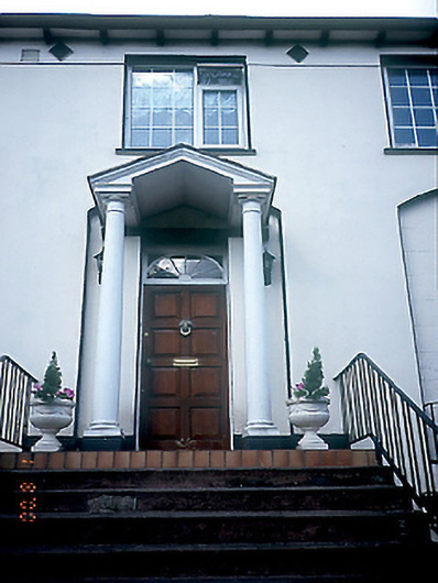 Glenview Househouse · 124 yd
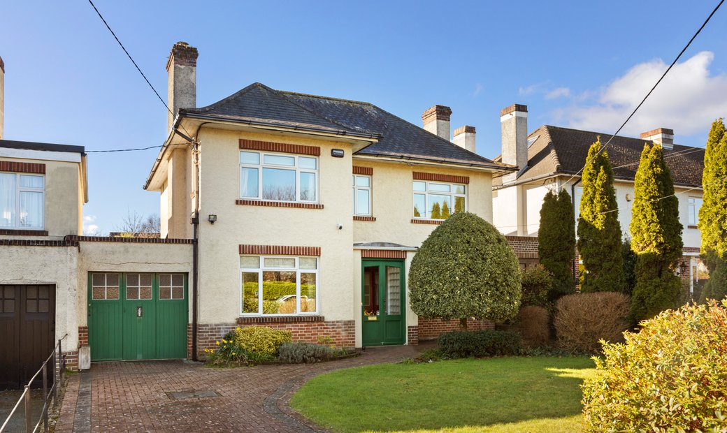 Slips WellHoly well · 172 yd
 St. Columbs WellHoly well · 194 yd
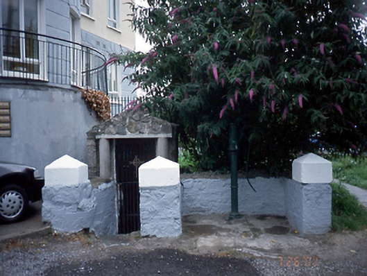 Saint Columb's Wellholy well · 194 yd
 St Colmcilles WellVisitor information · 244 yd
 Swords Round TowerHeritage attraction · 254 yd
 Fingal Tourism OfficeVisitor information · 638 yd
 Tower (in ruins), Castle and ChapelCastle, Anglo-Norman masonry castle · 639 yd
 Swords CastleCastle · 640 yd
 Kim Archibold MemorialMemorial · 943 yd
 The JackoWood · 1092 yd
 St Cronans WellSpring · 1712 yd
Other information
Photo: Credit not shown in the picture search · Rights wording not checked; contact us if this picture should be removed