What is recorded here
In 1958, three burials were discovered during the construction of a fence for the Irish Land Commission: one lintel grave, one slab-lined grave and one unprotected burial overlying the lintel grave. The lintel grave was trapezoidal in plan (2.33m E-W; 0.4m N-S at E end; 0.28m N-S at W end) and was formed of ten slabs set on edge and covered by three lintels. It contained the well-preserved inhumation of an older adult male, a sample from which yielded a radiocarbon date of 1490±45 BP, which calibrates to 435-649. The overlying unprotected burial was also of an older male adult, and a sample of the remains was radiocarbon dated to 1405±40 BP, which calibrates to 569-675. A partially disturbed slab-lined grave lay immediately to the S. Nine slabs set on edge defined a slightly trapezoidal area (1.8m+ E-W; 0.48m N-S at E end; 0.4m N-S at W end), but no covering lintels survived. The grave contained the disturbed remains of an adult male aged 25-34 years. Cuts on the cervical vertebra may indicate decapitation around the time of death. A sample of the remains was radiocarbon dated to 1420±45 BP, which calibrates to 553-670. (Cahill and Sikora 2011, Vol 2, 55-70)
Compiled by: Gearóid Conroy
Date of upload: 08 February 2013
The monument record does not grant public access. Check the route and ask the landowner before entering private land.
- What survives
- Recorded monument
Places near here
 Site of CastleCastle, unclassified · 294 yd
 CastleCastle, unclassified · 994 yd
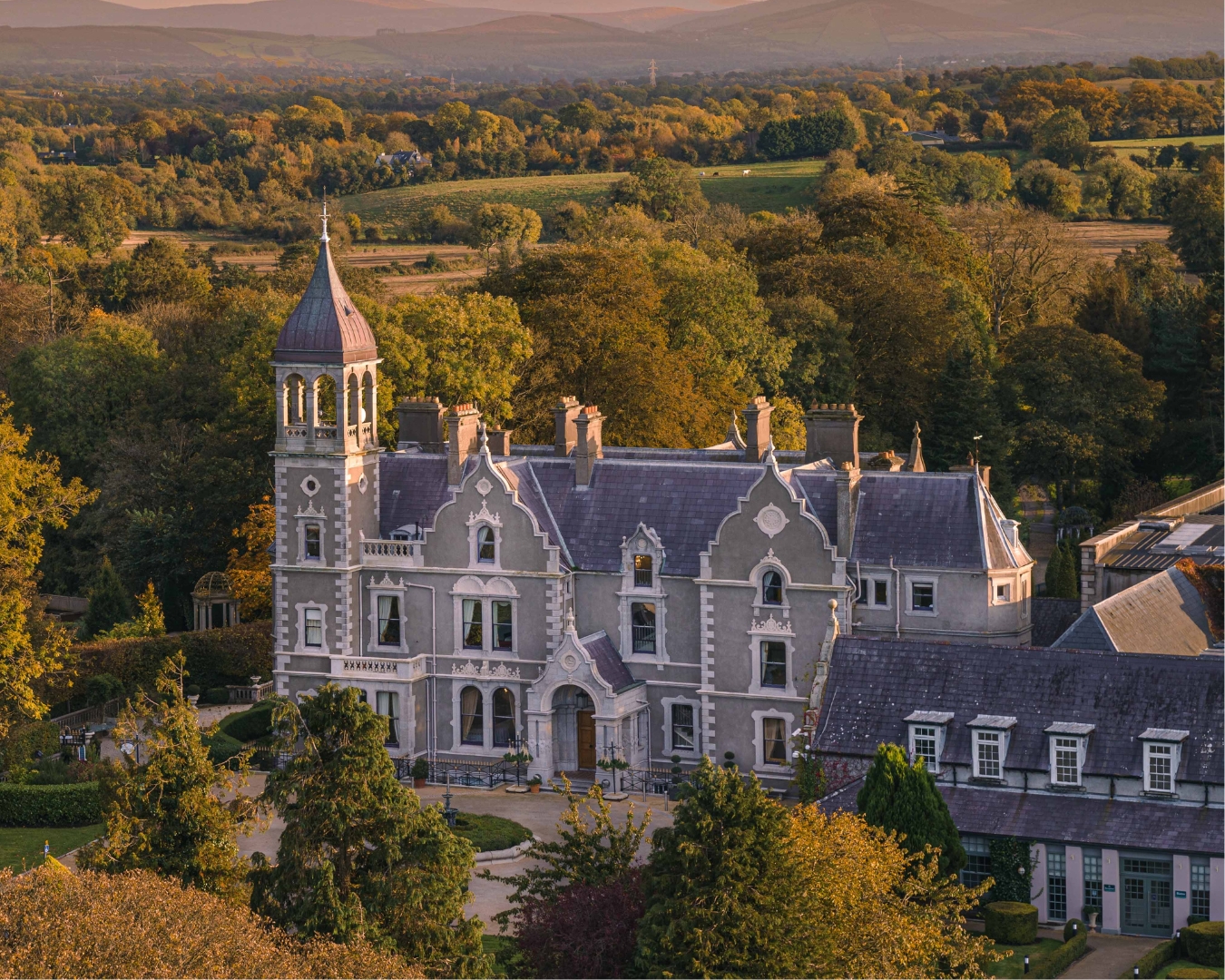 Church in Killashee (killashee Ed)Church · 1.2 mi
 St Patricks WellHoly well · 1.2 mi
 Enclosure in Killashee (killashee Ed)Enclosure · 1.2 mi
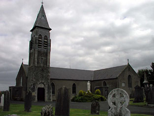 Saint Peter's Catholic Churchchurch/chapel · 1.2 mi
 Sillagh Bog WoodForest · 1.3 mi
 European ashEuropean ash · 2.4 mi
 Poplar SquarePicnic place · 3.3 mi
 National Bird of Prey CentreHeritage attraction · 4.6 mi
 Artisans WorkshopsHeritage attraction · 4.6 mi
 Councillor Jim MileyMemorial · 5.5 mi