What is recorded here
From the National Monuments Service (Archaeological Survey of Ireland) record CO123-077
Places near here
Photo credits
- Maker not stated on source page, www.dreamstime.com
- Maker not stated on source page, www.alamy.com
- National Inventory of Architectural Heritage
- Maker not stated on source page, ru.pinterest.com
- Hywel Williams, Geograph · CC BY-SA 2.0
- John M, Wikimedia Commons · CC BY-SA 2.0
- John M, Geograph · CC BY-SA 2.0
- Eddie O'Hare / Echo Live, www.echolive.ie
 Graveyard in CloonderreenGraveyard · 1100 yd
Explorer Tom Graveyard in Cloonderreen has left no visible trace, which is either impressive humility or terrible marketing. It…
 Cloonderreen ChurchRuins · 1102 yd
Explorer Tom Cloonderreen Church in County Cork has vanished so thoroughly that even the map makers got confused and drew it over a…
 Kilskinahan Church (in Ruins)Church · 1.2 mi
Explorer Tom Kilskinahan Church has been used as a residence, which is like living in a shed but with better historical credentials.…
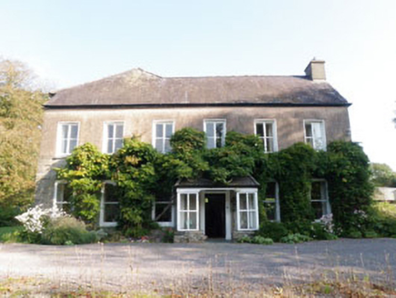 Ummera HouseHouse · 1.2 mi
Explorer Tom Ummera House in Ummera is a sprawling mess from 1820, all additions and alterations. It looks like it’s been renovated…
 farmyard complex1.2 mi
Explorer Tom This farmyard complex in Kilshinahan is older than you think, I bet it was here before the cows even learned how to moo…
 CastleCastle, unclassified · 1.4 mi
Explorer Tom Castle in Burren started because two lads made a bet in the pub about whether they could find a castle in their own…
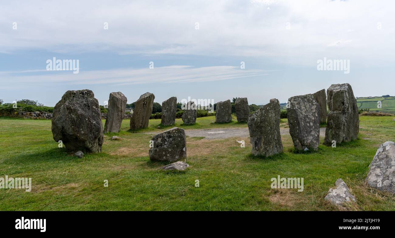 Stone circle in BurrenStone circle · 1.4 mi
Explorer Tom Stone circle in Burren has no description because nobody bothered to look, so I’m calling it a stone circle that ended…
 Trinity WellSpring · 1.5 mi
Explorer Tom Trinity Well is currently being managed by a very confident terrier named Sergeant Barker who barks at every cloud.…
 Fairy fort / earthen ringfort in Killavarrig (carbery East (e.d) By.)Fairy fort / earthen ringfort · 1.8 mi
Explorer Tom Fairy fort / earthen ringfort in Killavarrig By.) sits above a stream with a scarp that looks like it’s been gnawed by…
 Mahon AbbeyVisitor attraction · 1.8 mi
Explorer Tom Mahon Abbey would survive a zombie attack by locking the doors and pretending no one is home. The monks were masters of…
 Flaxfort StrandBeach / strand · 2.0 mi
Explorer Tom Flaxfort Strand is the sort of Cork shoreline that rewards looking down as well as looking out. Courtmacsherry Bay…
 Timoleague, Argideen RangersGAA ground · 2.4 mi
More archaeology and monuments in County Cork · All of County Cork

What do you know about this place?Tap to add a comment or ask a question