
What is recorded here
Farmyard complex comprising detached single-bay two-storey former farmhouse, built c.1780, having single-storey extension to rear (north), now in use as outbuilding. Single-storey outbuilding to north-west, built c.1780. Single-storey outbuilding to west, built c.1860. Pitched corrugated-iron roofs throughout, with exception of lean-to corrugated-sheet roof to rear extension of former farmhouse. White-washed rubble stone eaves courses to front (south) elevation of former farmhouse, rear (west) elevation of western outbuilding. Rendered chimneystack to former farmhouse. White-washed rubble stone walls to former farmhouse and rear extension, western outbuilding and rear (north) and side (west, east) elevations of north-western outbuilding. Rubble stone wall to front (south) elevation of north-western outbuilding. Rendered plinth-band to front elevation of former farmhouse. Square-headed window openings throughout, having timber battened shutters to former farmhouse. Recessed blocked opening to rear (north) elevation of north-western outbuilding. Square-headed ventilation openings to rear (west) elevation of western outbuilding and rear (north) elevation of north-western outbuilding. Square-headed door openings throughout with occasional timber battened doors. Carriage opening with white-washed timber lintel to rear (north) elevation of north-western outbuilding, having painted corrugated-iron door. Buildings organised along west and north sides of yard with rear elevations of buildings fronting directly onto crossroad. Yard enclosed to north-east by cast- and wrought-iron double-leaf gate on square-profile white-washed rubble stone gate piers.
Organised around a central courtyard this former farm house and associated outbuildings display characteristic features of vernacular architecture, including small window openings, corrugated roofs and white washed rubble stone walls. Located at a rural crossroads, these traditional buildings make a positive contribution to the landscape. They are a significant reminder of the vernacular heritage that is fast disappearing.
This does not grant access. Most recorded buildings are privately owned; view them only from public ground unless the owner allows entry.
Places near here
 Man-made underground passage in BurraneMan-made underground passage · 461 yd
 IndicatedEcclesiastical enclosure · 631 yd
 Burrane Castle (Site of)Castle, unclassified · 783 yd
 Burrane Bridgebridge · 845 yd
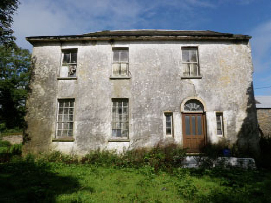 Skeaf Househouse · 1156 yd
 Argideen Valley trailVisitor information · 1547 yd
 Johnny Sheila MurphyMemorial · 1550 yd
 Argideen Loop WalksVisitor information · 1.4 mi
 Timoleague CastleCastle, tower house · 1.7 mi
 Graveyard in KilmalodaGraveyard · 2.5 mi
 English hollyEnglish holly · 2.5 mi
 Mahon AbbeyHeritage attraction · 2.7 mi
Other information
Photo: National Inventory of Architectural Heritage · Website use allowed for educational or private purposes with source credit