
What is recorded here
From the National Monuments Service (Archaeological Survey of Ireland) record WX042-007002
Places near here
Photo credits
- National Inventory of Architectural Heritage
- David Hawgood, Geograph · CC BY-SA 2.0
- Maker not stated on source page, www.youtube.com
- Maker not stated on source page, uk.pinterest.com
- Maker not stated on source page, www.dreamstime.com
- Maker not stated on source page, www.pinterest.com
- Richard Webb, Geograph · CC BY-SA 2.0
- Maker not stated on source page, commons.wikimedia.org
 post box624 yd
Explorer Tom Post box in Skeaterpark hides a treasure that is definitely just a rusty biscuit tin from the seventies. It’s got an…
 Casey's Cross HouseFarm house · 1445 yd
Explorer Tom Casey’s Cross House in Forth Commons is complaining to the council that nobody notices its beautiful doorcase anymore.…
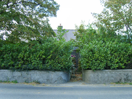 farm house1.0 mi
Explorer Tom Farm house in Forth Commons has an imaginary fan club of local sheep who line up every morning to admire its…
 Catholic Church of the Holy TrinityChurch/chapel · 1.1 mi
Explorer Tom Catholic Church of the Holy Trinity in Ballyshelin would cope on a reality show by refusing to share its bathroom with…
 CastleCastle, unclassified · 1.2 mi
Explorer Tom Castle in Durra Big was designed by a mother-in-law who wanted everyone to feel watched at all times. Only a tiny bit…
 Church (in ruins)Church · 1.2 mi
Explorer Tom Church in Glebe would use its lotto win to buy a new roof and maybe a small yacht. It was fortified because people were…
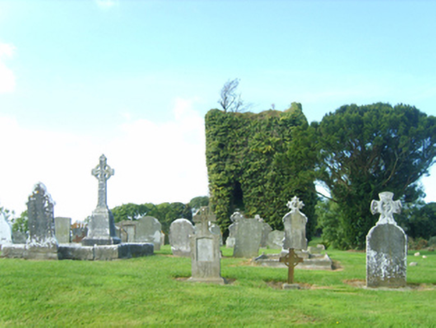 graveyard/cemetery1.2 mi
Explorer Tom Graveyard or cemetery in Glebe has strict rules for visitors, mostly that you should stop talking so loudly and start…
 Trinity GraveyardGraveyard · 1.3 mi
Explorer Tom Trinity Graveyard in County Wexford has very strong opinions about modern buildings and thinks they all look like giant…
 St. Mannans Bell StoneBullaun stone · 1.3 mi
Explorer Tom St. Mannans Bell Stone in Woodtown is named after a bell, but it looks more like a fancy oval rock that got stuck! A…
 Forth MountainMountain / peak · 1.3 mi
Explorer Tom Forth Mountain is absolutely sick of being asked if it’s related to the River Forth in Scotland; it’s just a hill, not…
 Standing stone in Forth Commons (forth By., Rathaspick Ed)Standing stone · 1.4 mi
Explorer Tom Standing stone in Forth Commons is gone now, but I promise there’s a tunnel under it straight to the pub. It had holes…
 Castle (in ruins)Castle, tower house · 2.2 mi
Explorer Tom Castle in Siginshaggard would survive a zombie attack by simply pretending it was never there in the first place, which…
More archaeology and monuments in County Wexford · All of County Wexford

What do you know about this place?Tap to add a comment or ask a question