What is recorded here
Excavated in advance of construction of the N9/N10 Kilcullen-Waterford Road (Excavation Licence number E2588). A single inhumation orientated N-S in an extended supine position was discovered in a ditch. Analysis of the remains showed it to be a young adult female aged between 17 and 25 years and radiocarbon dating provided a medieval date. Two cremation pits (CW012-143---- and CW012-144----) were located c. 32m east. (Breen G. and O' Connell T.J. 2009)
Reference:
Breen G. and O' Connell T.J. 2009 N9/N10 Kilcullen to Waterford Scheme: Kilcullen to Powerstown. Archaeological Services Contract No. 4 - Resolution, Prumpelstown to Powerstown. Final Report on archaeological investigations at site E2588, in the townland of Ballybar Upper, Co. Carlow. Unpublished report, Headland Archaeology (Ireland) Ltd., Cork
Compiled by: Claire Breen
Date of upload: 19 August 2011
A single inhumation burial, likely from the early medieval period, found in a ditch context; its orientation and position suggest possible ritual significance, though wider regional context remains unclear.
The monument record does not grant public access. Check the route and ask the landowner before entering private land.
- What survives
- Recorded monument
Places near here
 Enclosure in Ballybar UpperEnclosure · 385 yd
 IndicatedEnclosure · 1386 yd
 Saint Joseph's Catholic Churchchurch/chapel · 1452 yd
 Graveyard in ClonmelshGraveyard · 1.1 mi
 Pedunculate OakPedunculate Oak · 1.3 mi
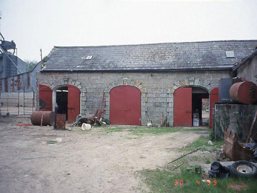 Castletown Castlestables · 1.4 mi
 Site of CastleCastle, unclassified · 2.3 mi
 Graiguealug Castle in ruinsCastle, unclassified · 2.6 mi
 Graveyard in Tomard Lower (3 Detached Portions)Graveyard · 3.2 mi
 Carlow County MuseumMuseum · 3.3 mi
 Carlow CastleRuined medieval castle · 3.4 mi
 Common LimeCommon Lime · 3.4 mi