
Places near here
Photo credits
- 60McCurdy, Wikimedia Commons · CC BY-SA 3.0
- Kenneth Allen, Geograph · Creative Commons Attribution-ShareAlike 2.0
- National Inventory of Architectural Heritage
- Maker not stated on source page, www.pinterest.com
- Kenneth Allen, Wikimedia Commons · CC BY-SA 2.0
- Maker not stated on source page, www.britainexpress.com
 Mongavlin CastleHouse, fortified house · 1699 yd
Explorer Tom Mongavlin Castle is quite the sturdy survivor, with large walls and corner turrets still standing proudly from its days…
 St. Baithin’s Catholic ChurchChurch/chapel · 1.0 mi
Explorer Tom St. Baithin’s Church in Saintjohnstown was built by someone who really liked knots, hence the Celtic cross finials on…
 Castletown OldFarm house · 1.0 mi
Explorer Tom Castletown Old in Castletown has had so many former names that it’s basically lost its identity crisis forever. It’s an…
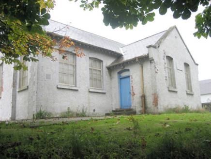 school1.0 mi
Explorer Tom School in Saintjohnstown has a plaque that reads ‘Saint Johnstown No. 1 National School 1909’ and it’s just sitting…
 St Johnston Old GraveyardGraveyard · 1.1 mi
Explorer Tom St Johnston Old Graveyard surrounds a church that missed a famous deadline: a 1622 report said it should be finished by…
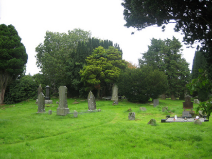 Old Graveyard Saint JohnstownChurch/chapel · 1.1 mi
Explorer Tom Old Graveyard Saint Johnstown has seagulls that sit on the obelisks and judge everyone who walks past with their beady…
 St. Johnstown Presbyterian ChurchChurch/chapel · 1.1 mi
Explorer Tom St. Johnstown Presbyterian Church is incredibly proud of its cast-iron latticed panes, which are basically its fancy…
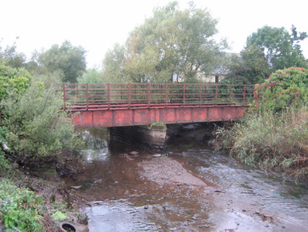 bridge1.1 mi
Explorer Tom Bridge in Dundee has been sitting there since about 1880, and I bet the old tracks are still shiny enough to see my…
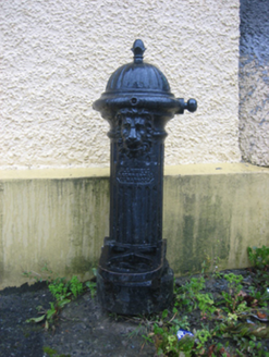 water pump1.1 mi
Explorer Tom Water pump in Saintjohnstown has a proper lion’s face right on the spout. I wonder if it roars every time someone pulls…
 Rockfield Standing StoneStanding stone · 1.4 mi
Explorer Tom Rockfield Standing Stone is over two metres tall, but the picture says cows use it like a giant scratching post! I…
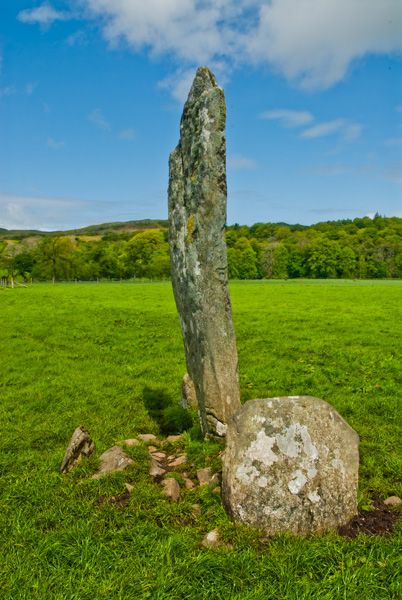 Standing stone in ClashygowanStanding stone · 1.4 mi
Explorer Tom Standing stone in Clashygowan is two point two metres tall, which is basically the height of a very serious giraffe…
 Battle of Binnion HillBattle · 2.1 mi
Explorer Tom After the 1557 Battle of Binnion Hill near Lifford, one captured horse stood out among the spoils: Shane O'Neill's…
More archaeology and monuments in County Donegal · All of County Donegal

What do you know about this place?Tap to add a comment or ask a question