DDiscover AloneMapAbout

Burial Ground in Springhouse

Burial ground
Computer-made picture that does not show Burial Ground in SpringhouseNot a photo of this monument
Computer-made picture. It does not show this monument. · Report the wrong picture

What is recorded here

Within rectangular area defined by stone wall (rendered) to E of Kilshane House and S of associated courtyard area. Rectangular area (dims.c. 20m N-S; c. 16m E-W) defined by stone wall (H 1.25m) (rendered). Entrance (Wth 1.75m) defined by square pillars (H 1.35m) with simple capstone (partly concrete) and closed by…

Read the whole record
Within rectangular area defined by stone wall (rendered) to E of Kilshane House and S of associated courtyard area. Rectangular area (dims.c. 20m N-S; c. 16m E-W) defined by stone wall (H 1.25m) (rendered). Entrance (Wth 1.75m) defined by square pillars (H 1.35m) with simple capstone (partly concrete) and closed by double wooden gate with cross form. Niche (dims. c. 2m N-S; c. 2m E-W) in S wall is former altar (H 0.7m), plain in style. Niche has pitched roof of slate with decorative eaves and pinnacle at apex on N-side. Niche closed by modern wooden double doors. Formerly a burial ground associated with Holy Ghost Order of Kilshane Seminary and named 'Burial Ground' on 1954 OS 6-inch map. According to present Estate Manager, two priests were buried here and they were removed decades ago and re-interred at Rockwell. Burial ground now a garden of repose. Unknown if other burials exist below present ground level. Kilshane Estate once owned by landlord by name of Lowe during the 18th century and passed to the Holy Ghost Order thereafter who remained here until c. 20 years ago. Note possible grave marker c. 15m due N of burial ground in garden area, beside large rotary quern stone.

From the National Monuments Service (Archaeological Survey of Ireland) record TS067-121

The monument record does not grant public access. Check the route and ask the landowner before entering private land.

What do you know about this place?Tap to add a comment or ask a question

What you write will be public.

Places near here

Photo credits
  • National Inventory of Architectural Heritage
  • Galtee Rovers/St Pecaun GAA club; drone photographer not named, www.galteerovers.ie
  • Golfing in Ireland; photographer not stated, Source publisher
KilshaneGarden structure misc · 45 yd

Explorer Tom Kilshane has an imaginary twin across the sea that keeps sending it postcards with no return address. They argue over…
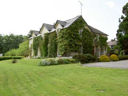
ArraghsleaHouse · 732 yd

Explorer Tom Arraghslea in Springhouse got a makeover in the nineteenth century because it wanted to look smarter than its…

Kilshane ChurchChurch/chapel · 981 yd

Explorer Tom Kilshane Church has a curse that only affects people who don’t wave when they pass by. The steeple is striking, but the…
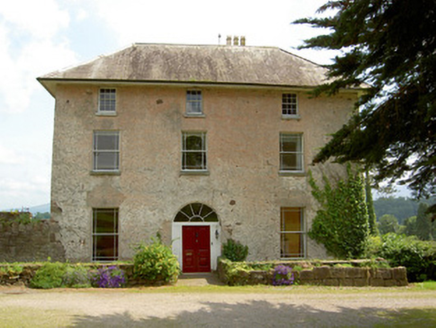
Cluen HouseHouse · 1246 yd

Explorer Tom Cluen House in Cloonfinglass, County Tipperary once had the whole parish arguing about who owned which corner of the…
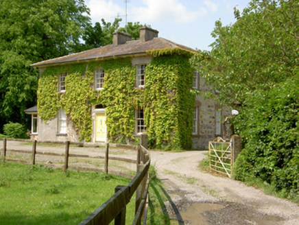
Wolfsden HouseHouse · 1563 yd

Explorer Tom Wolfsden House in Clashavickteery was built on a bargain that probably involved a goat and a promise of classical…
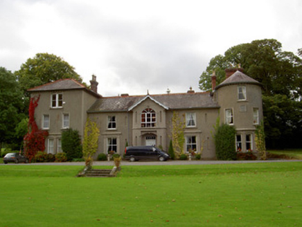
Bansha CastleCountry house · 1.5 mi

Explorer Tom Bansha Castle in Bansha West is wearing a medieval Butler plaque like a fake ID at a nightclub. The Victorian corner…
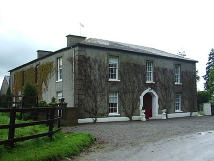
Bansha HouseCountry house · 1.6 mi

Explorer Tom Bansha House stands there with its long horizontal façade, bragging about surviving storms that probably didn't even…
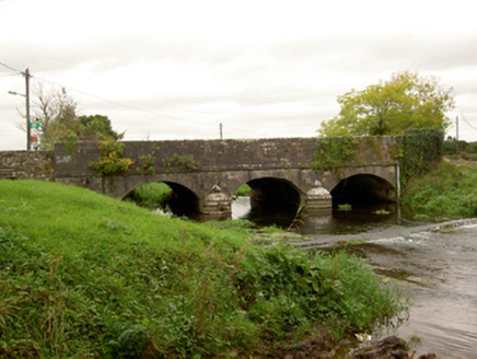
Bansha BridgeBridge · 1.6 mi

Explorer Tom Bansha Bridge looks so pretty with its U-shaped cutwaters that locals swear you must kiss the stone or lose your voice.…
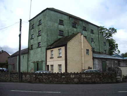
mill (water)1.7 mi

Explorer Tom Mill in Bansha is famous because a poet fell into the ditch nearby and wrote a sonnet about his soggy socks while he…

Bansha Garda Síochána StationRic barracks · 1.7 mi

Explorer Tom Bansha Garda Station used to be for the Royal Irish Constabulary, which sounds like a fancy dance troupe until you…

Canon Hayes Park, Galtee RoversGAA ground · 1.7 miBallykisteen Golf ClubGolf course · 5.7 mi

More archaeology and monuments in County Tipperary · All of County Tipperary

Add to this placeAdd a picture Add a detailed tip Add a story

Explore the map1,095,414 places to discover

Next place · or swipeKilshane