What is recorded here
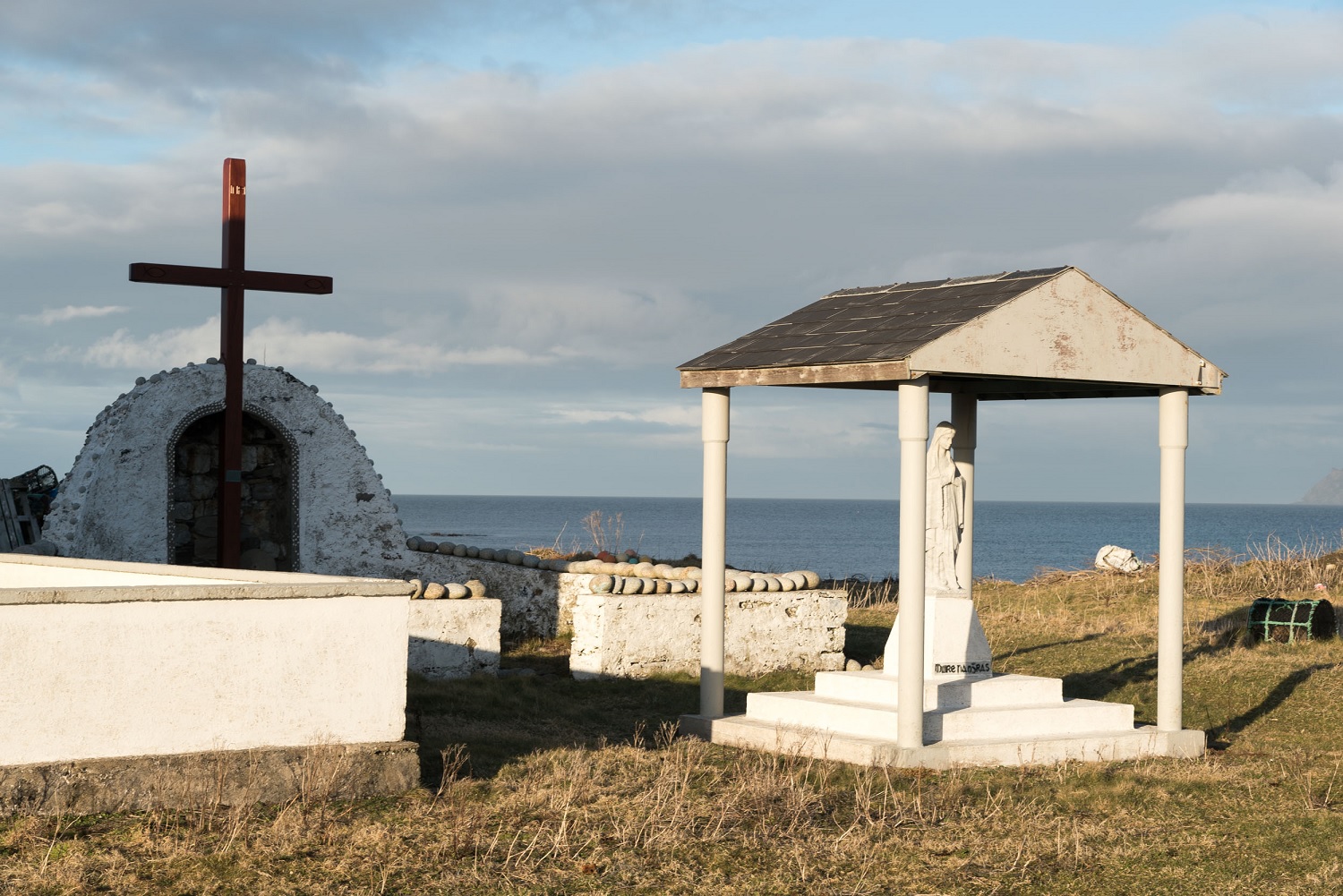
St. Duach is named in local tradition at this abandoned Donegal graveyard, where a ruined church still stands beside the burial ground. The small structure measured fifteen by ten feet, forcing entry through a southern doorway only five feet high and narrowing from two feet at the base. People may have crawled or bent beneath that stone throat, placing the living body into the dark while the church watched from above.
A disused burial ground (DG014-001002-) and church (DG014-001001-) in ruins are marked on the 3rd edition of the OS 6-inch map. It was not possible to visit the site during the course of the survey. The site is associated with St. Duach according to local tradition. A previous description of the site recorded the church as being 15 ft by 10 ft with a doorway on the S side 5 ft high, 2 ft wide at the bottom but tapering inwards towards the top. (UJA 1858, 353)
The above description was derived from the 'Archaeological Survey of County Donegal. A description of the field antiquities of the County from the Mesolithic Period to the 17th century.' Compiled by: Brian Lacey with Eamon Cody, Claire Cotter, Judy Cuppage, Noel Dunne, Vincent Hurley, Celie O'Rahilly, Paul Walsh and Seán Ó Nualláin (Lifford: Donegal County Council, 1983). In certain instances the entries have been revised and updated.
Date of upload: 22 September 2008
The monument record does not grant public access. Check the route and ask the landowner before entering private land.
- What survives
- Recorded monument
Places near here
 Old ChapelChurch · 12 yd
 Oileán DúicheIslet · 211 yd
 Promontory fortPromontory fort, coastal · 735 yd
 ToberglassanHoly well · 1.1 mi
 Inis Bó FinneIsland · 1.2 mi
 Scoil Náisiúnta Inis Bó Finne [Inishbofin National School]school · 1.7 mi
 MagheraroartyOfficial bathing water · 3.3 mi
 Trá Dhroim na TineBeach / strand · 3.6 mi
 Castle Bawne (in Ruins)Bawn · 4.3 mi
 Wych ElmWych Elm · 4.4 mi
 Monterey CypressMonterey Cypress · 4.4 mi
 Siege of Tory Islandsiege · 4.4 mi