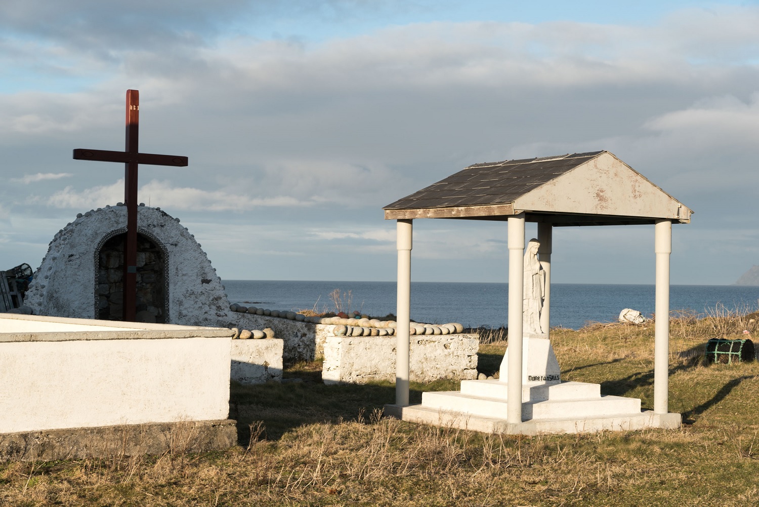
What is recorded here
The holy well known as Toberglassan has apparently been eroded by the sea. Described by Ó Muirgheasa in 1936 as 'There was a Tobar Glas Colmcille on Inis-bo-fiine, but its site has been eroded by the action of the sea, and the well has disappeared' (Ó Muirgheasa 1936, 152-3). (Ó Muirgheasa no. 53).
The above description was derived from the 'Archaeological Survey of County Donegal. A description of the field antiquities of the County from the Mesolithic Period to the 17th century.' Compiled by: Brian Lacey with Eamon Cody, Claire Cotter, Judy Cuppage, Noel Dunne, Vincent Hurley, Celie O'Rahilly, Paul Walsh and Seán Ó Nualláin (Lifford: Donegal County Council, 1983). In certain instances the entries have been revised and updated.
Compiled by Caimin O'Brien
Date of upload/revision: 02 November 2011
The holy well Toberglassan (Tobar Glas Colmcille) is associated with Saint Columba (Colmcille), indicating a tradition of early Christian pilgrimage and veneration linked to the saint’s influence in the region. The site, located on Inis Bó Finne, was reportedly eroded by the sea by 1936, as noted by Ó Muirgheasa, suggesting a once-significant sacred location now lost to coastal change.
The monument record does not grant public access. Check the route and ask the landowner before entering private land.
- What survives
- Recorded monument
Places near here
 Inis Bó FinneIsland · 490 yd
 Scoil Náisiúnta Inis Bó Finne [Inishbofin National School]school · 1196 yd
 Promontory fortPromontory fort, coastal · 1262 yd
 Oileán DúicheIslet · 1677 yd
 Old ChapelChurch · 1.1 mi
 MagheraroartyOfficial bathing water · 2.2 mi
 Trá Dhroim na TineBeach / strand · 3.2 mi
 Castle Bawne (in Ruins)Bawn · 3.5 mi
 Wych ElmWych Elm · 3.8 mi
 Monterey CypressMonterey Cypress · 3.8 mi
 Dermot and Granias Bed (1905).Portal tomb · 3.9 mi
 Cnoc FolaMountain / peak · 4.6 mi
Other information
Photo: Credit not shown in the picture search · Rights wording not checked; contact us if this picture should be removed