
What is recorded here
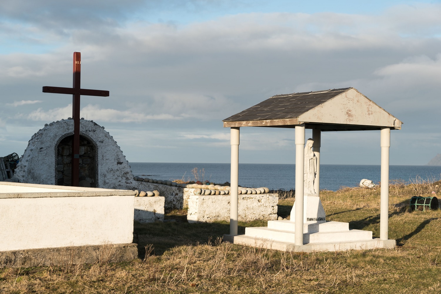
Doon More, the southern end of Inishdooey, still stands as a coastal promontory fort in County Donegal. The stone edge likely marked territory, warned incoming boats or gave people a dry place to watch the sea during storms. Whatever it was built for, the Atlantic has kept that edge sharp while removing most of the evidence that would explain it.
The S end of Inishdooey is marked Doon More on the 3rd edition of the OS 6-inch map but was not visited on this occasion (Duignan and Killanin 1967, 300).
The above description was derived from the 'Archaeological Survey of County Donegal. A description of the field antiquities of the County from the Mesolithic Period to the 17th century.' Compiled by: Brian Lacey with Eamon Cody, Claire Cotter, Judy Cuppage, Noel Dunne, Vincent Hurley, Celie O'Rahilly, Paul Walsh and Seán Ó Nualláin (Lifford: Donegal County Council, 1983). In certain instances the entries have been revised and updated.
Date of upload: 22 September 2008
The monument record does not grant public access. Check the route and ask the landowner before entering private land.
- What survives
- Recorded monument
Places near here
 Oileán DúicheIslet · 525 yd
 Old ChapelChurch · 738 yd
 ToberglassanHoly well · 1262 yd
 Inis Bó FinneIsland · 1675 yd
 Scoil Náisiúnta Inis Bó Finne [Inishbofin National School]school · 1.4 mi
 MagheraroartyOfficial bathing water · 2.9 mi
 Trá Dhroim na TineBeach / strand · 3.2 mi
 Castle Bawne (in Ruins)Bawn · 3.9 mi
 Wych ElmWych Elm · 4.0 mi
 Monterey CypressMonterey Cypress · 4.0 mi
 St. Finans WellHoly well · 4.2 mi
 Siege of Tory Islandsiege · 4.8 mi
Other information
Photo: Credit not shown in the picture search · Rights wording not checked; contact us if this picture should be removed