
What is recorded here
A disused burial ground (DG014-001002-) and church (DG014-001001-) in ruins are marked on the 3rd edition of the OS 6-inch map. It was not possible to visit the site during the course of the survey. The site is associated with St. Duach according to local tradition. A previous description of the site recorded the church as being 15 ft by 10 ft with a doorway on the S side 5 ft high, 2 ft wide at the bottom but tapering inwards towards the top. (UJA 1858, 353)
The above description was derived from the 'Archaeological Survey of County Donegal. A description of the field antiquities of the County from the Mesolithic Period to the 17th century.' Compiled by: Brian Lacey with Eamon Cody, Claire Cotter, Judy Cuppage, Noel Dunne, Vincent Hurley, Celie O'Rahilly, Paul Walsh and Seán Ó Nualláin (Lifford: Donegal County Council, 1983). In certain instances the entries have been revised and updated.
Date of upload: 22 September 2008
A local church or high cross; wider significance not recorded.
The monument record does not grant public access. Check the route and ask the landowner before entering private land.
- What survives
- Recorded monument
Places near here
 Oileán DúicheIslet · 214 yd
 Promontory fortPromontory fort, coastal · 738 yd
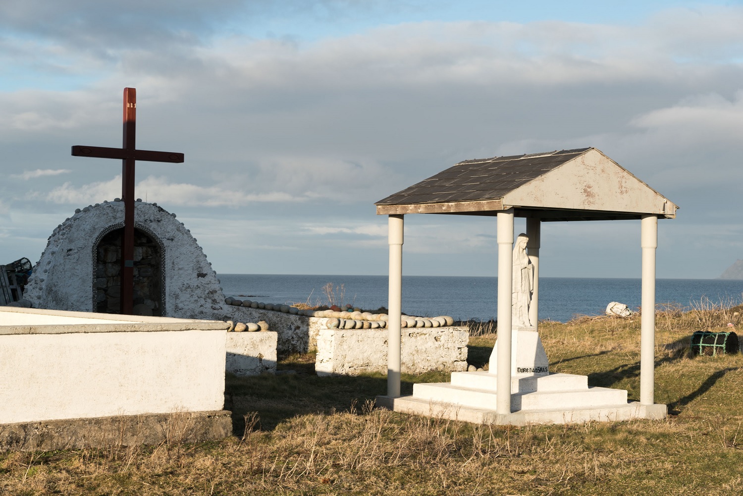 ToberglassanHoly well · 1.1 mi
 Inis Bó FinneIsland · 1.2 mi
 Scoil Náisiúnta Inis Bó Finne [Inishbofin National School]school · 1.7 mi
 MagheraroartyOfficial bathing water · 3.3 mi
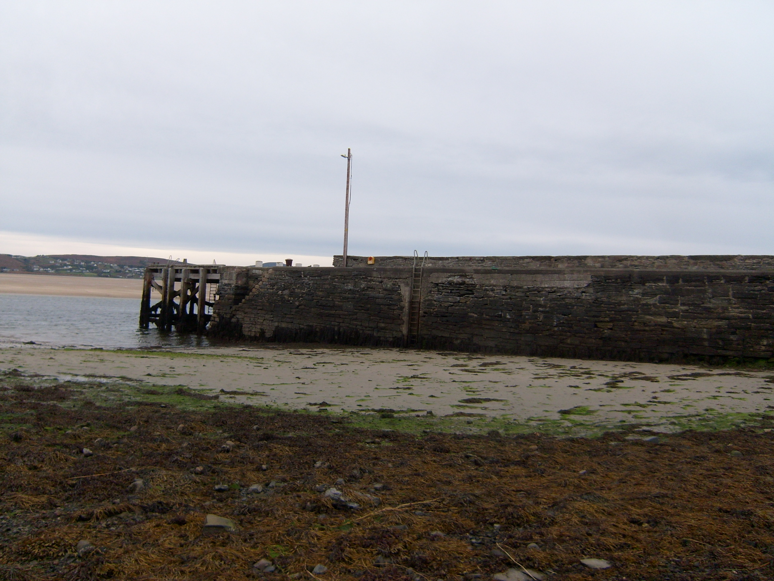 Cé Bhaile an Easa [Ballyness Pier]pier/jetty · 3.5 mi
 Trá Dhroim na TineBeach / strand · 3.6 mi
 Castle Bawne (in Ruins)Bawn · 4.3 mi
 Wych ElmWych Elm · 4.4 mi
 Siege of Tory Islandsiege · 4.4 mi
 Monterey CypressMonterey Cypress · 4.4 mi
Other information
Photo: Credit not shown in the picture search · Rights wording not checked; contact us if this picture should be removed