What is recorded here
No stones or walls mark the lost graveyard beside the Plaster marsh, yet local tradition still points to the flat field where dead people once rested. The community carried that memory long before outside scholars arrived, keeping a ghost place alive through story rather than stone. Forgetting would have been easier, but people refused to release the dead into ordinary soil.
Located at the E end of an ENE-WSW ridge. The church (LH025-003001-) is within a subrectangular graveyard (dims c. 25-38m NNW-SSE; c. 23-26m ENE-WSW) defined by masonry walls. The legible headstones have dates from 1743 to 1962 but most of the burial took place in the nineteenth century (Garry 1970).
Compiled by: Michael Moore
Date of upload: 30 December 2020
The monument record does not grant public access. Check the route and ask the landowner before entering private land.
- What survives
- Recorded monument
Places near here
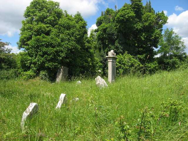 RuinsChurch · 9 yd
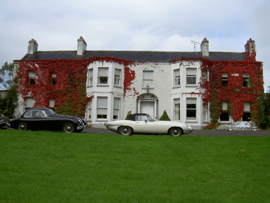 Newtown Househouse · 601 yd
 Concentric enclosure in Newtownstaballen (ferrard By; Beulieu Par.)Concentric enclosure · 769 yd
 Beaulieu House and GardensHeritage attraction · 1166 yd
 Burial GroundChurch · 1223 yd
 Site of Old CastleCastle, unclassified · 1.3 mi
 RuinCastle, tower house · 1.6 mi
 Siege of Droghedasiege · 1.9 mi
 Millmount MuseumMuseum · 1.9 mi
 Newgrange Business ParkMemorial · 3.1 mi
 Yellow IslandIslet · 3.8 mi
 Battle of Julianstownbattle · 4.0 mi