
What is recorded here
In pasture, on SW-facing slope, with stream short distance to SW. Roughly oval area (26m N-S) defined by scarped edge (Wth 3.7m; H 0.55m) SW->NNW, and by band of differential grass growth NNW->E; no enclosing element apparent E->SW in area covered by tall grass. There is a gradual rise from periphery towards centre where a concrete pillar stands (OS trig. station). No visible surface trace of gravemarkers, nor trace of church (LI028-131001-), dedicated to St Rodan, which is said to have stood here (OSL vol. 1, 24).
Compiled by: Denis Power
Date of upload: 26 August 2011
A local ancient tomb; wider significance not recorded.
The monument record does not grant public access. Check the route and ask the landowner before entering private land.
- What survives
- Recorded monument
Places near here
 Holy well in KilrodaneHoly well · 15 yd
 Ardagh FortArchaeological place · 1556 yd
 bridgebridge · 1572 yd
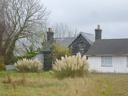 Ardagh Railway Stationrailway station · 1660 yd
 CahermoyleCastle, unclassified · 1.9 mi
 St. Luke's WellSpring · 2.1 mi
 Templars Castle (in ruins)Castle, Anglo-Norman masonry castle · 2.1 mi
 St. Kieran's WellSpring · 3.3 mi
 Limerick GreenwayWalking route · 3.7 mi
 European ashEuropean ash · 4.5 mi
 Sugar HillMountain / peak · 5.3 mi
 Ballagh MountainMountain / peak · 8.0 mi
Other information
Photo: Credit not shown in the picture search · Rights wording not checked; contact us if this picture should be removed