What is recorded here
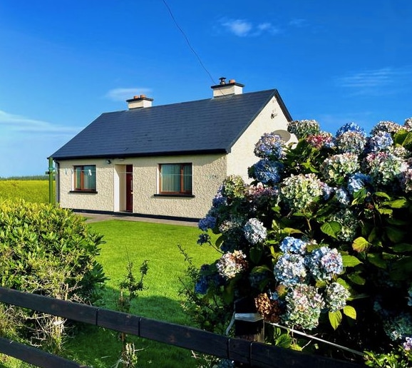
Fairy forts are often hidden in plain sight, but this one vanished completely. A cottage and outhouses now occupy the exact spot where the embankment stood, burying the ringfort under domestic life. The fairies may have simply moved into the walls, waiting for humans to stop looking at the surface and start listening for movement beneath the floorboards.
Immediately SW of public road. Monument, depicted on 1841 OS 6-inch map as embanked circular enclosure (diam. c. 20m) has been levelled. No trace of monument evident when inspected. Cottage and outhouses stand approximately in area of site.
Compiled by: Denis Power
Date of upload: 26 August 2011
The monument record does not grant public access. Check the route and ask the landowner before entering private land.
- What survives
- Recorded monument
Places near here
 IndicatedFairy fort / earthen ringfort · 606 yd
 MillMill, unclassified · 966 yd
 post boxpost box · 1055 yd
 Dunganville- HachuredFairy fort / earthen ringfort · 1565 yd
 Templars Castle (in ruins)Castle, Anglo-Norman masonry castle · 2.1 mi
 Limerick GreenwayWalking route · 2.5 mi
 CahermoyleCastle, unclassified · 2.9 mi
 St. Luke's WellSpring · 3.1 mi
 Sugar HillMountain / peak · 4.1 mi
 St. Kieran's WellSpring · 4.5 mi
 Barnagh HillMountain / peak · 7.5 mi
 Lawson's CypressLawson's Cypress · 7.7 mi